
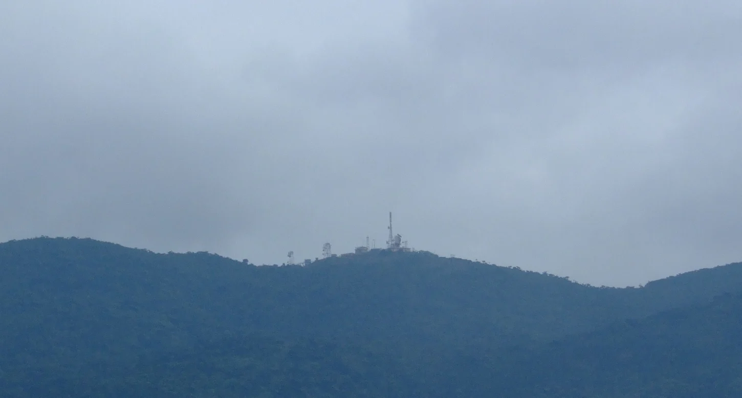
Elevation and the Name Mount Pedro
The mountain carries the alternate name Mount Pedro, a designation persisting in historical cartography and older English-language sources alongside the Sinhala primary name. The Greater Nuwara Eliya Development Plan published by the Urban Development Authority cites an equivalent figure of 8,292 feet, referring to the same summit whose principal official metric record is 2,524 metres.
Montane Forest and Highland Climate
The slopes of Pidurutalagala lie within a montane forest reserve of cloud forest, mossy undergrowth, and high-ridgeline mist. Sri Lanka's Ministry of Education, in comparative educational material, attributes a mean temperature of 11.5°C to Pidurutalagala against 15.4°C for Nuwara Eliya, illustrating the altitude-driven climate gradient across this short horizontal distance in the Central Highlands.
Communications Array on the Summit
The Greater Nuwara Eliya Development Plan records that Pidurutalagala's summit hosts a government communications array, reflecting the practical value extreme elevation offers for broadcast and relay across a topographically varied island. The plan addresses the mountain within regional planning for Nuwara Eliya district through 2030, situating the peak within the administrative geography of the highlands.