
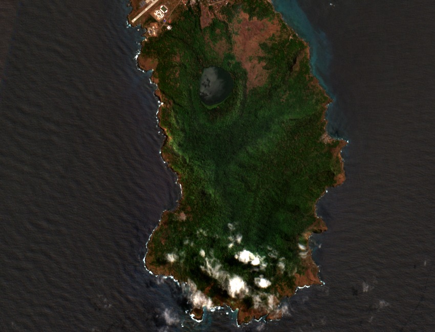
Volcanic Landforms of the Central Ridge
Annobón's topography reflects its origin as an oceanic shield volcano, with Pico Quioveo forming the culminating point of the island's central ridge. The landscape includes multiple extinct cones and the Mazafrim crater lake, a water-filled caldera documented in IUCN forest reserve studies as geographically distinct from the summit cone. No confirmed eruption history is attributed to the island in peer-reviewed literature.
Biodiversity and Island-Wide Cultivation
The Key Biodiversity Areas inventory for the Annobón volcanic landscape records montane and lowland forest cover alongside historic coffee and cocoa plantations distributed across the island. The KBA assessment documents endemic plants, reptiles, and land snails characteristic of the island's isolated oceanic setting. These species communities reflect Annobón's long separation from continental landmasses and its position within the Gulf of Guinea biodiversity hotspot.
UNESCO Tentative Listing
In April 2026, Equatorial Guinea submitted Annobón natural reserve and Quioveo to the UNESCO World Heritage tentative list, citing the island's volcanic landforms, endemic biodiversity, and traditional land use as the basis for potential Outstanding Universal Value. The dossier references the 598 m summit, the crater lake, and island-wide ecological character as constituent elements of the nominated landscape.