
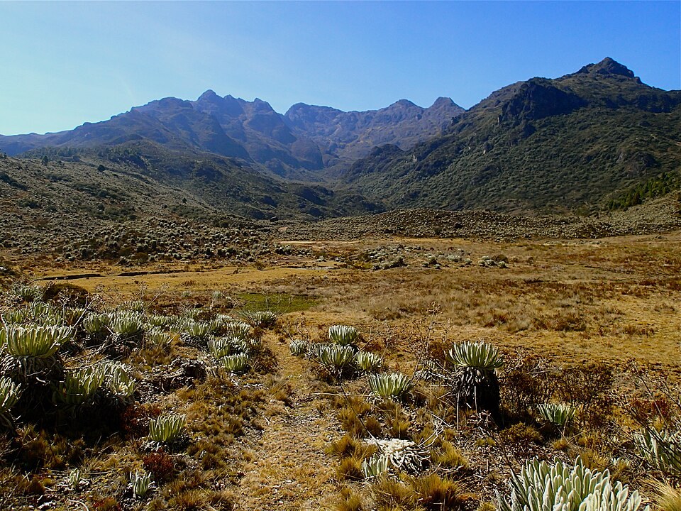
Ridges and watersheds
Three ridges converge at the summit and its waters drain toward the Chama, Santo Domingo, and Canaguá rivers. The waters of the western slope feed the Mucubají ravine, and the lake of the same name lies downstream within the same range.
Cartographic reconnaissance
On 11 December 1910, Alfredo Jahn reached the summit and recorded 4,672 m, a figure cited in the scientific literature. The Swiss geologist Moritz Blumenthal made an ascent in 1922. The 1977 topographic map, according to Silva León's study, assigns 4,609 m to the neighboring Pico Mifés.
Traces of glaciation
During the Mérida glaciation, ice descended the western slope through valleys such as that of Mucubají. Moraines and sediments make it possible to reconstruct advances and retreats of the ice over time.