
Position in the range
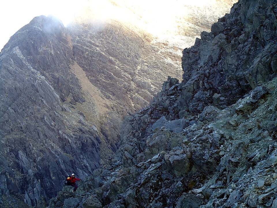
The peak lies between the Bolívar and La Corona groups. In his description of the range, Jahn defines the orographic boundaries of each group, placing La Concha within that section of the sierra.
Documented first ascent
On 6 February 1939, Franz Weiss, Albert E. Gunther, Domingo Peña and Ventura Sánchez made the documented first ascent of the peak. The expedition account describes how a dog named Caribe reached the summit ahead of the climbing party.
Glacial history
The work of Ramírez and collaborators compares the extent of ice on La Concha in 1910 and 1952, using Laguna El Encierro as a reference point. Glacial cover disappeared in the early 1990s and does not appear on the 1998 cartography.