
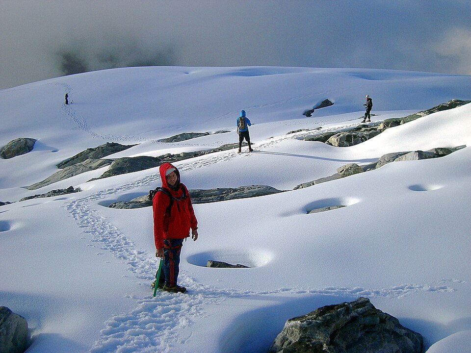
La Corona, Venezuela's last glacier
La Corona was situated near the summits of Humboldt and Bonpland. Following the loss of other ice bodies in the region, it was considered from 2009 onward to be Venezuela's last glacier, according to NASA records. Its position in that sector of the sierra afforded it some protection through altitude and the surrounding relief.
Extent documented by Landsat imagery
Landsat images taken at the end of the dry season record the reduction of La Corona: around 0.1 km² in 2015 and approximately 0.01 km² in 2024, roughly one tenth of that area over the interval.
Physical classification in 2024
In glaciology, a mass of ice is classified as a glacier when it has sufficient volume to move under its own weight. Data from 2024 indicated that the remaining ice of La Corona was too small to meet that criterion, and it was therefore no longer catalogued under that designation. As of 2024 an ice surface remained visible at the site.