
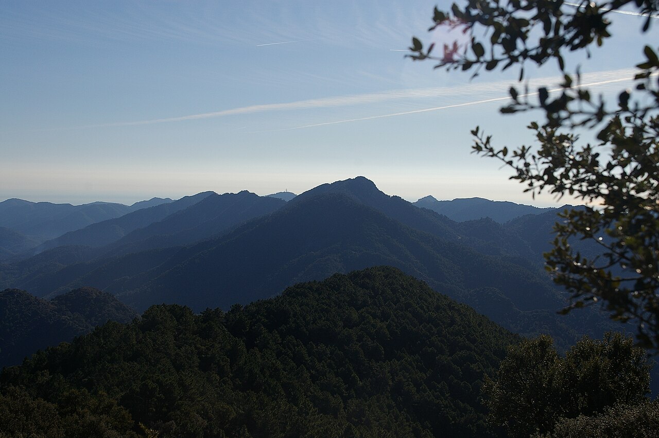
Triassic sandstone and water
The sierra rests on the Triassic Buntsandstein sequence, whose sandstones the IGME documents as behaving like a regional aquifer. The permeability of this sedimentary formation allows water to circulate between its layers, moving slowly through the pores and fissures of the rock until it emerges at lower points on the terrain.
North-facing pine woodland and flora microreserve
A botanical survey by the Generalitat Valenciana identified a mature stand of maritime pine (Pinus pinaster) on the north-facing slope of Pic Espadà. The regional administration subsequently declared a flora microreserve in that same sector; the largest specimens concentrated in this north-facing enclave are one of the park's outstanding natural values.
The ice well and the history of ice
At the col between the municipal districts of Alcudia de Veo and Algimia de Almonacid a circular ice well survives. The provincial record of the Diputación de Castellón describes it as a storage facility where snow was collected and kept to produce ice that was sold in the towns of La Plana.