
Three summits and a precision comparison
The expedition also measured the two neighboring peaks of the same range: La Pelona was recorded at 3,096.593 m and La Rucilla at 3,042.350 m; the difference between Pico Duarte and La Pelona is 4.502 m. All three peaks appear in that survey as the highest in the Antilles. Fieldwork was carried out in March 2021; the initiative was framed around the anniversary of the birth of Juan Pablo Duarte — January 26 — the national founding father whose name the mountain bears.
Landscape and access corridor from Jarabacoa
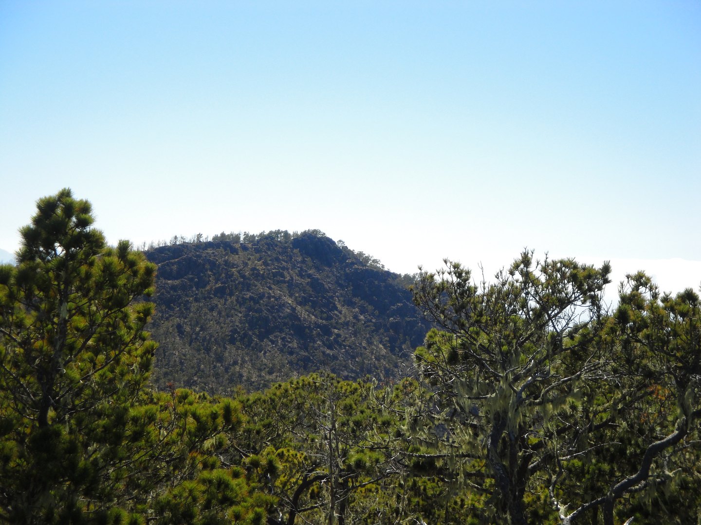
The access route documented by official tourism sources follows the Jarabacoa–Manabao–La Ciénaga corridor, from which the trail continues through Compartición and the Valle de Lilís to the summit. The surroundings combine pine forest, montane cloud forest, and cloud forest that succeed one another with altitude.
The mountain lies between Armando Bermúdez National Park and José del Carmen Ramírez National Park, two reserves whose continuity protects a representative sample of Hispaniola's high-altitude ecosystems. The regional landscape is characterized by pine woodland, broadleaf montane forest, and cloud forest.
Forest history of the Valle de Bao
Kennedy, Horn, and Orvis studied sediments from the Valle de Bao, a site located in the same Cordillera Central at around 1,800 m elevation, in the transition zone between humid broadleaf forest and high-altitude pine forest. The evidence traces the presence of Pinus occidentalis and fire activity across four millennia.
Historical context of the geodetic survey
Before the 2021 campaign, various sources cited divergent elevations for Pico Duarte. The IGN undertook GNSS measurements to produce a reference value backed by modern geodetic technology and reported an uncertainty of ±0.300 m. Upon completing the fieldwork, the team installed bronze benchmarks at the summit vertices as a permanent reference for future surveys; the procedures were documented in a publicly accessible technical report.