
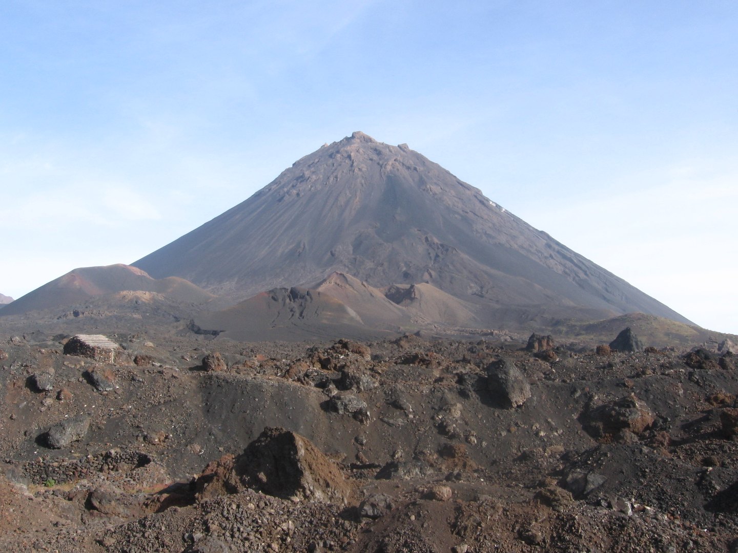
Volcanic architecture: caldera, cone and collapse
The Chã das Caldeiras is the name given to the vast interior plateau bounded by the caldera rim, whose eastern opening sets this structure apart from a conventional closed caldera. The Global Volcanism Program attributes that opening to the lateral collapse of the older volcanic edifice, a process that radically reconfigured the island's topography. Within that space, Pico do Fogo rises as a central cone with steep walls, towering more than a kilometre above the flat caldera floor. Its present morphology is the result of overlapping layers from successive eruptive episodes, including lava flows from both the summit crater and lateral vents recorded in different eruptions.
The 2014–2015 eruption and the communities of the Chã
The most recent eruption began on 23 November 2014, with activity at vents located near the base of Pico Novo — a secondary cone within the caldera — and continued until 7 February 2015, according to observations recorded in the Cape Verde Government's post-disaster assessment. Lava flows engulfed large areas of the Chã das Caldeiras and destroyed much of the villages of Portela and Bangaeira. This episode must be distinguished from the 1995 eruption, which also occurred within the caldera and constitutes a separate event in the volcano's eruptive history.
Human settlement in the Chã das Caldeiras dates back at least to the late nineteenth or early twentieth century, when farmers began to establish themselves in the area, drawn by the cultivation opportunities that volcanic soils offered, as documented in the post-disaster assessment. The contrast between cultivated fields, dwellings and a landscape dominated by lava and cones is one of this community's defining characteristics. The 2014–2015 eruption violently disrupted that balance; on the basis of available sources it is not possible to state the current extent of reconstruction or reoccupation.
Island scale and nomenclature: Peak, Island and Volcano
A careful reading of the scientific literature requires distinguishing Pico do Fogo — the central 2,829 m cone — from Fogo Island as a whole and from the island-scale stratovolcano that underpins it. The nomenclature can be misleading: the name of the island and the name of the peak partly coincide, yet they refer to geomorphological realities of very different scales. The Smithsonian GVP records the Fogo volcano as a composite structure, and it is within that broader context that historical data on flows, collapses and activity at distinct vents should be interpreted.