
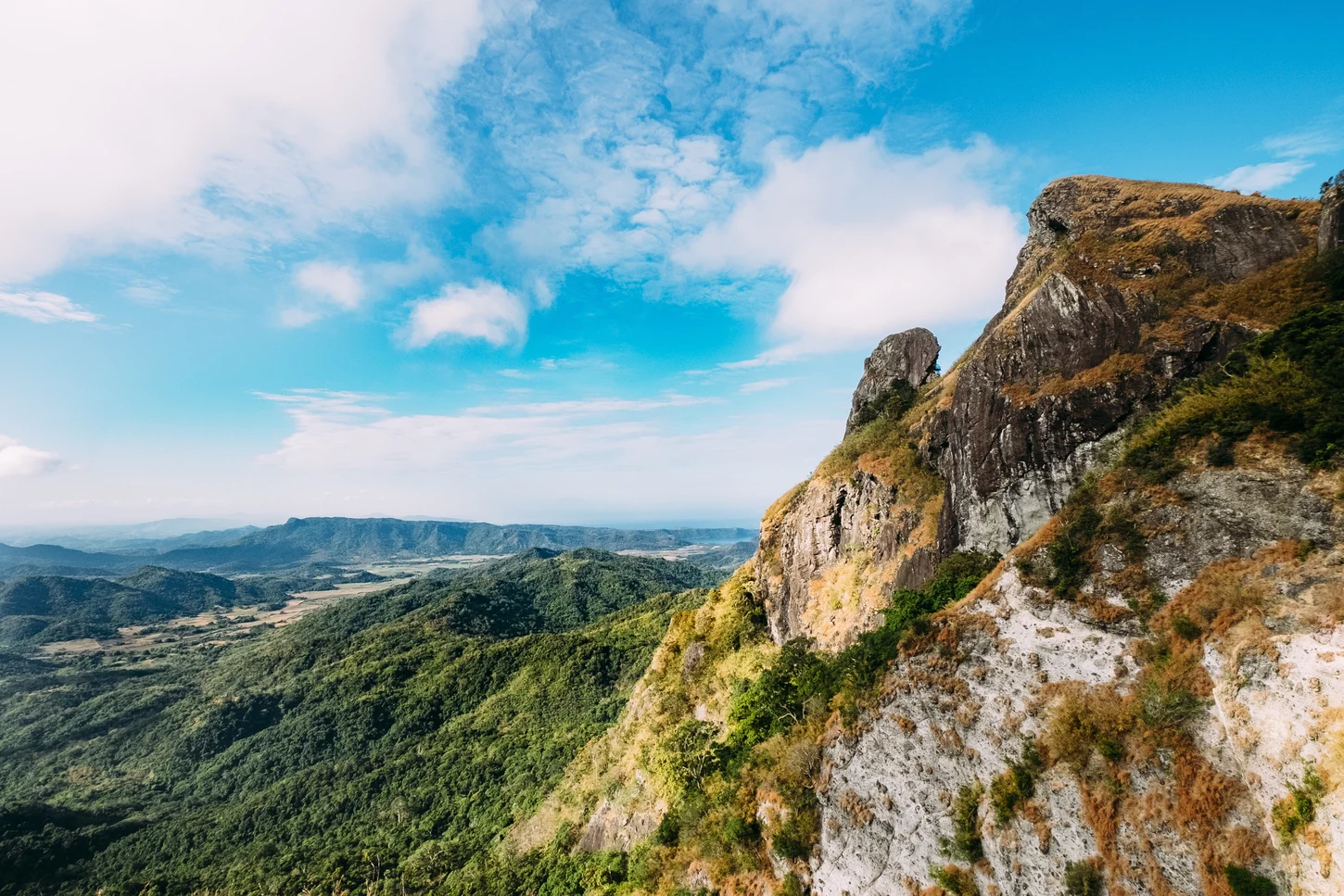
A Rock Formation and Its Name
The Spanish phrase pico de loro means parrot's beak and describes the peak's prominent rock pinnacle, whose silhouette above the forested ridgeline gives the summit its identity. A University of the Philippines Los Baños study names Pico de Loro, Mount Palay-Palay, and Mataas na Gulod individually as distinct peaks within the protected landscape.
Forest, Watershed, and Conservation Research
The Mounts Palay-Palay–Mataas-na-Gulod Protected Landscape contains lowland forest that the Philippine EMB and DENR have engaged with in a conservation context tied to Cavite's watershed systems. The UP Los Baños study frames the peaks and surrounding forest as an integrated ecological system with functions extending across the landscape unit.
Rehabilitation and Education Milestones
Government documents record Pico de Loro's reopening to hikers in January 2023 following a six-year rehabilitation period. In April 2025, Philippine EMB Region 4A hosted an official eco-tour and conservation education program at the Mounts Palay-Palay site, an event the agency recorded as a milestone in its protected-landscape management.