
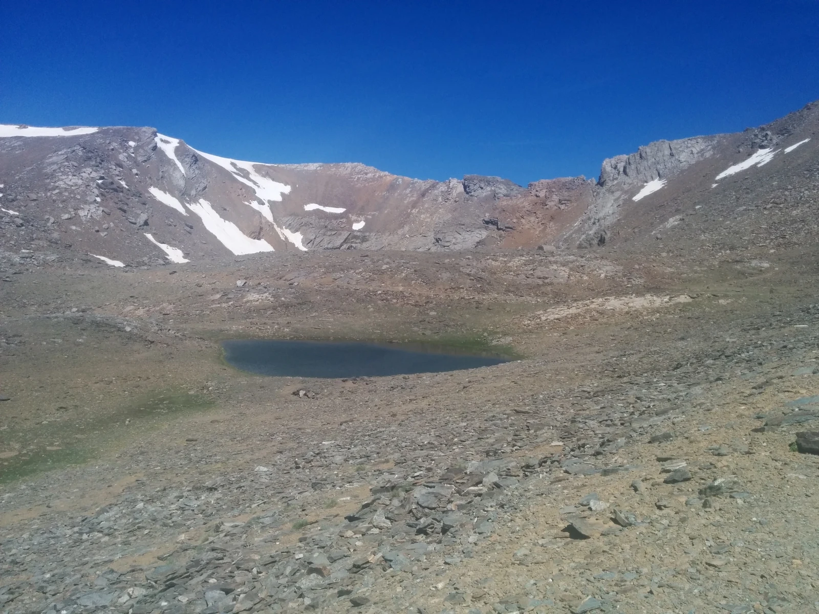
A ridge between two cirques
Hugo Obermaier and Juan Carandell published a field study of the Quaternary glaciers of Sierra Nevada in 1916. They identified Loma Pelada as the divide between the Río Seco cirque to the west and the Caldera cirque to the east. According to their observations, the ice tongues of both cirques descended toward the Poqueira and came close to meeting in their lower sections.
The ice excavated the depression where Laguna de la Caldera lies today. Along its southern rim, a ridge of glacial sediment called a moraine holds back part of the water. Loma Pelada bounds the cirque to the west, Puntal de la Caldera to the north and Mulhacén to the east.
The lakes from the summit
From the top, Laguna Larga is visible to the north, in the glacial valley of Valdeinfierno. To the northeast lies the ridge leading to Puntal de la Caldera, with Alcazaba behind it. To the east are Laguna de la Caldera and Mulhacén. In the photograph, taken from the eastern side on 19 June 2016, the peak stands out on the left-hand rim of the cirque.
The wardens' refuge
To the south of the summit, above the valleys of the Mulhacén and Seco rivers, stands the Villavientos refuge. The Junta de Andalucía dates its construction to 1982. It was originally built as a hut for the wardens of the Reserva Nacional de Caza, who watched over and protected both game animals and vegetation.
The refuge is also known as Loma Pelada and is listed at 3,100 m in the 2019 national park documentation. It was built a few metres below the old track connecting Granada with Capileira, on the ridge dividing the two watersheds.