
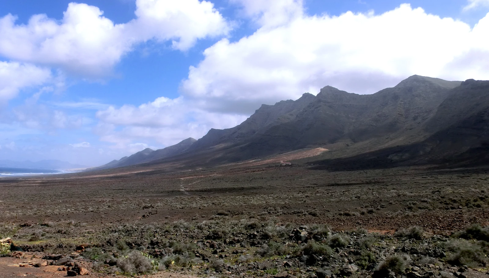
The lava flows that built Jandía
The MAGNA geological mapping places the formation of the Jandía volcanic edifice in the Miocene. Lava flows were superimposed one on another with deposits of fragments ejected during eruptions. Between episodes, erosion wore down what had accumulated. The last volcanic episodes at the western tip of the massif are dated to around 14 million years ago.
From ridge to ravines
Since then, erosion has dominated the evolution of the massif. On its southern flank, the ravines of Butihondo, Esquinzo and Vinámar rise at the heights and cut the slopes towards the coast. Photographs of the massif allow these changes in elevation to be traced from the ridge.
Endemic flora between two altitudes
The 2006 management plan distinguishes the vegetation and birds of the summits from the Jandía cardón populations of the ravines, such as that of Gran Valle. The high zones include nesting sites for birds of prey and a strip where thermophilous woodland could grow.
The massif received its first protected status in 1987. The 1994 reclassification recognised the Jandía Natural Park, which covers the summits as well as the ravines and coastal sectors.