
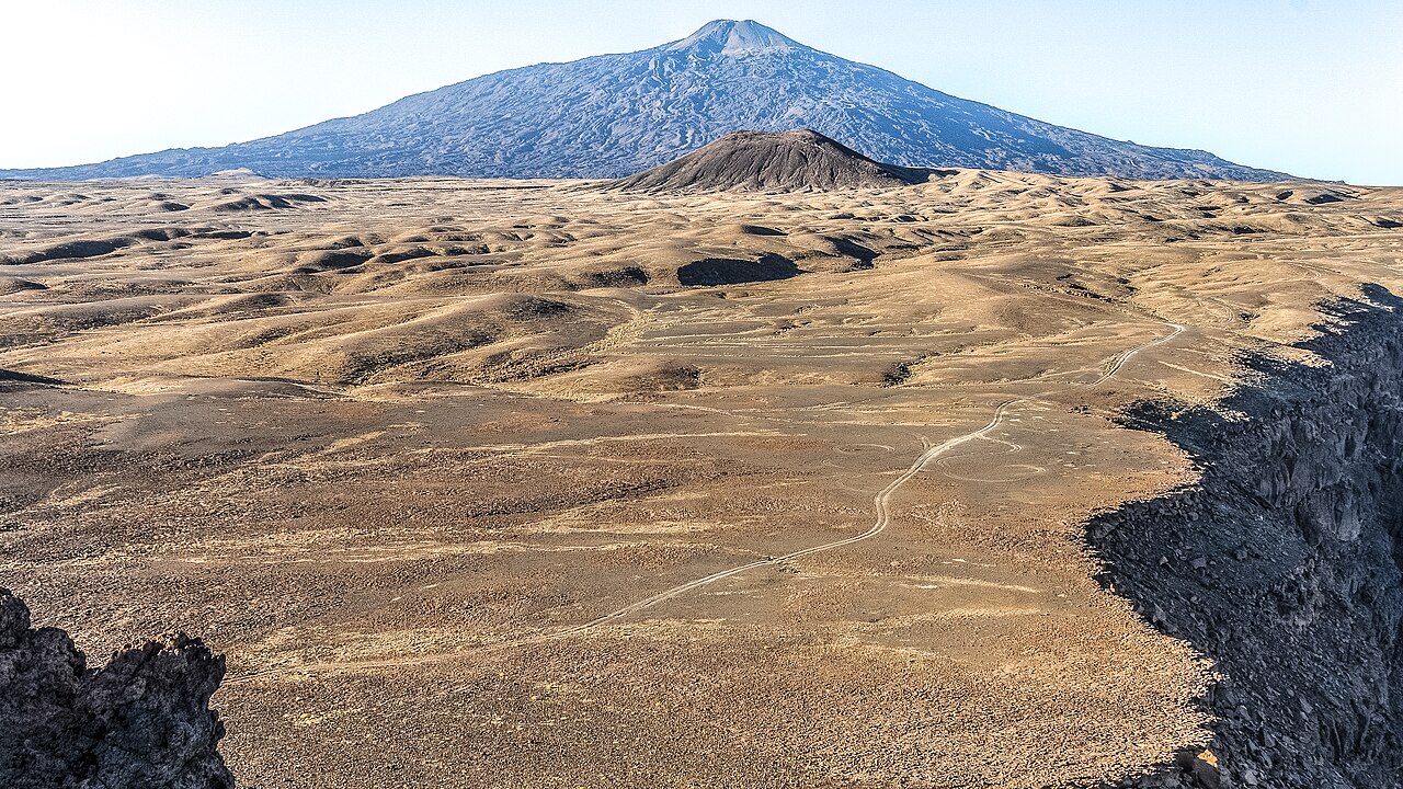
Yirrigue Caldera and the Trou au Natron Overlap
Pic Toussidé occupies the western rim of the Yirrigue caldera, a structure roughly 14 km across. The Trou au Natron caldera cuts into the southeastern rim of Yirrigue, creating a compound depression where two major collapse events intersect. The Smithsonian Global Volcanism Program identifies this structural relationship as a defining feature of the Tarso Toussidé massif.
Lava Fields Mapped from Orbit
Dark lava flows extend up to 25 km west of the summit, their geometry clearly resolved in NASA astronaut photography and in the ASTER satellite analysis of Tibesti volcanoes conducted by Permenter and Oppenheimer. The ASTER study used satellite spectral and topographic data to map flow margins and distinguish surface rock units across the massif.
Active Fumarole Field at the Summit
The Smithsonian Global Volcanism Program documents an active fumarole field at the summit of Pic Toussidé.