
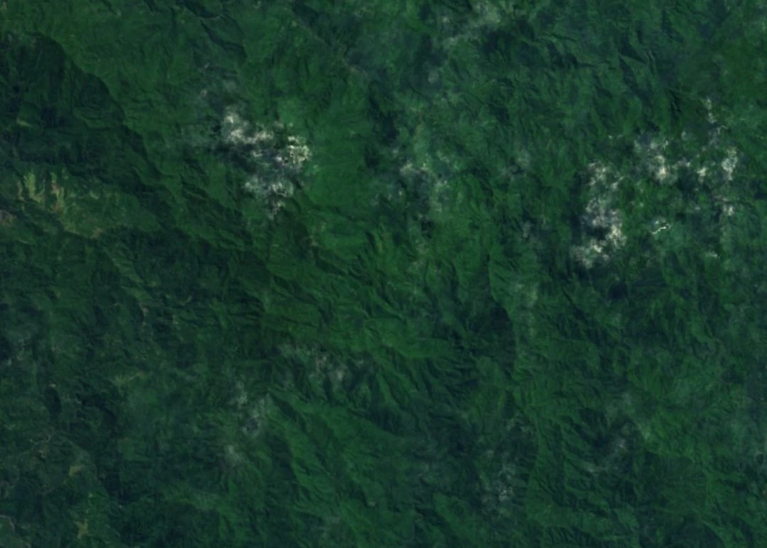
Island Geology and Upland Relief
Jean-Christophe Galipaud and Annie Walter describe Espiritu Santo as built of material from submarine eruptions and associated sediments. Later reef limestone and river deposits covered parts of that foundation. The western uplands, including Pic Santo and Mount Tabwemasana, rise steeply from the coast. The photograph shows the forested ridges around Pic Santo.
Ridge Botany
In August 1963, botanist T. C. Chambers collected ferns around 1,700 metres on the Pic Santo ridge. Their museum numbers are BM 000801681 and BM 000801682. A 2019 taxonomic revision lists both as Blechnum glabrescens, a fern found in places such as open forest and sheltered escarpments. The same study records it in New Caledonia, the Cook Islands and Tonga.
Avian Field Surveys
In a study published in 2006, Andrew Kratter, Jeremy Kirchman and David Steadman compared Tsaraepae, at 500–700 metres on Pic Santo’s wet southeastern slope, with a site in the rain shadow of Tabwemasana at 600–1,250 metres. They recorded 30 resident bird species at each site, with 27 in common. BirdLife International records a later sighting of the Santo mountain starling at Pic Santo in 2010. The bird occurs only on Espiritu Santo.