
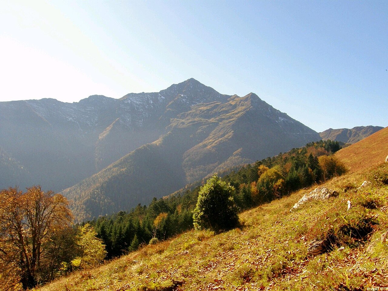
Terrain, grassland, and biological limits
The national ZNIEFF inventory (730011646) places the Montaigu area on the west side of Hautacam and records a sequence of seasonal mountain grassland, fir–beech woodland, and wet ground supporting round-leaved sundew (Drosera rotundifolia), with observations logged between 2002 and 2006. The inventory also documents livestock on the summer uplands as an established land use alongside this forest cover.
Field surveys conducted between 1999 and 2005 recorded the Pyrenean lizard Iberolacerta bonnali in the zone between Pène Malo and Montaigu. A peer-reviewed 2013 herpetological study identifies Pic de Montaigu as the known northern limit for that species within the authors' survey area. A ridge running south from the peak connects to Pic du Midi de Bigorre, descending to around 1,870 m at Hourquette d'Ouscouaou.
John Stuart Mill's ascent, 29 August 1820
Mill's French notebook — distinct from the accompanying diary version — records a climb of Pic de Montaigu on 29 August 1820 in the company of M. George and Mlle Sarah. After leaving their carriage before Lesponne, the party ascended through successive zones of ferns, hornbeams, and firs, reaching a clearing near the top where trees had been cut, with wild strawberries growing among the stumps. The notebook notes explicitly that another, higher point remained unclimbed that day.
Clouds closed in and obscured any long views from the upper mountain. After descending, the group encountered a storm while walking back to Bagnères-de-Bigorre. The notebook records that he and his companions struggled into town, and the diary notes that poplars were brought down along the route.
Centuries of pastoral and extractive use
A 2021 study by Alain Cazenave-Piarrot and Gilbert Peyrot, presented in an author and publisher release, frames the history of the Montaigu area as a long shared practice of forest management and seasonal grazing rights, with traces of lead and copper workings recorded in the broader area. The national inventory corroborates the continuity of summer upland grazing and describes the layered human history embedded in the forest cover.
Mill's 1820 observation of a clearing supplies one historic example of woodland use in the area. The modern inventory and 2021 geohistorical account place forests, summer pastures, and disused mineral workings within this same landscape.