
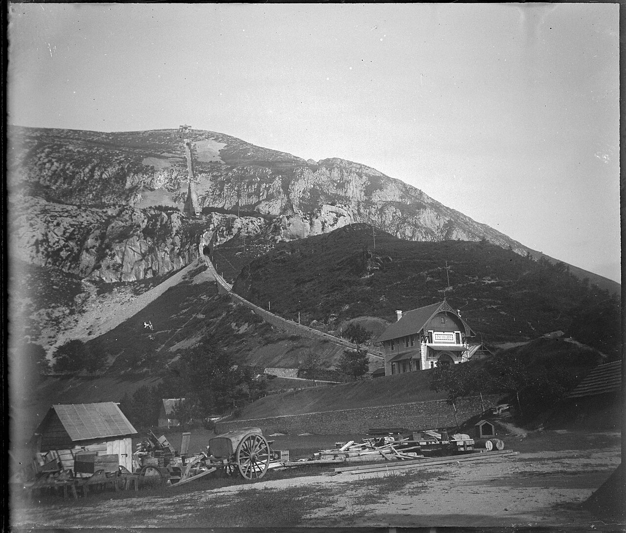
A Limestone Peak Above a Glacial Basin
The municipal environmental diagnosis of 2017 places Pic du Jer and the neighbouring Béout on the south side of Lourdes, both formed from karst limestone along the corridor of the Gave de Pau. Glacial action shaped the broader basin, and the river has continued to incise the valley floor since the ice retreated. The summit proper sits at 948 metres — a figure given by Lourdes tourism records and the operator's own historical plans — distinct from the upper railway station, which terminates lower down at 888 metres.
Inside the peak, natural limestone passages connect a series of chambers containing stalactites, stalagmites, and draperies. Rock debris had blocked portions of the original system, and later work joined some of the passages together. The cave network as it stands for visitors covers 360 metres of route through eleven rooms; public access to the caves began in 1958.
Engineering the Funicular
Lourdes acquired its main railway connection in 1866, and the subsequent growth of pilgrimage traffic spurred a series of infrastructure projects in the town. Engineer Alphonse Chambrelent received the municipal concession for a mountain railway in August 1898. During construction, a separate cableway transported stone from a quarry on the Petit Jer to the work site — a temporary industrial line independent of the passenger system being built alongside it.
The finished funicular runs 1,110 metres in length and climbs 438 metres of vertical rise, ascending from a lower station at roughly 450 metres to the upper station at 888 metres. The route passes through two limestone tunnels measuring 70 metres and 65 metres, crosses a viaduct of 200 metres carried on twelve arches, and includes a rock cutting. The combination of tunnelled limestone and open viaduct reflects both the geology of the ridge and the engineering conventions of the period.
Opening in 1900 and the Visual Record
The funicular entered service in May 1900 and was officially inaugurated in June of that year. On 14 July 1900, the photographer Eugène Trutat (1840–1910) composed a view showing the completed railway set against the face of the mountain, situating the line and the peak together in a single frame. That photograph is preserved in the Fonds Trutat at the Muséum de Toulouse and belongs to the first season of the line's operation.
City heritage records document the installation of a metal cross on the 948-metre summit in 1900. The original passenger cabins were open-sided, and a redesign in the 1930s introduced a replacement form, as recorded in municipal descriptions of the installation.