
From Forest Reserve to Special Reserve, 1952–1964
Madagascar's forestry administration first gazetted the area as a forest reserve in 1952, recognising the ecological value of its montane cover. In 1964 the site was reclassified as a special reserve under national protected-area legislation, a designation that afforded stricter protections. The Fondation pour les Aires Protégées et la Biodiversité de Madagascar records the legal area as 3,453 hectares.
1999 Biological Inventory Across Ridge, Slope, and Lowland
In 1999 the Centre d'Information et de Documentation Scientifique et Technique conducted a systematic field inventory using seven 100-metre transects and fourteen 0.1-hectare plots distributed between 900 and 1,757 metres across ridge, slope, and lowland habitats. The sampling design captured structural variation in vegetation across that altitudinal span and informed subsequent management planning for the reserve.
Forest Corridor to the Andringitra Massif
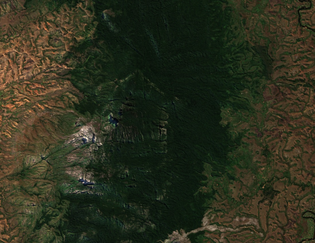
A continuous forest corridor of approximately 16 kilometres links Pic d'Ivohibe to the Andringitra massif, situating the reserve within the broader Ihorombe highland landscape. This connection is documented in reserve factsheets published by Madagascar National Parks and the Fondation pour les Aires Protégées et la Biodiversité de Madagascar, and it forms a key element of landscape-scale conservation planning for the region.