
Elevation and Geographic Position
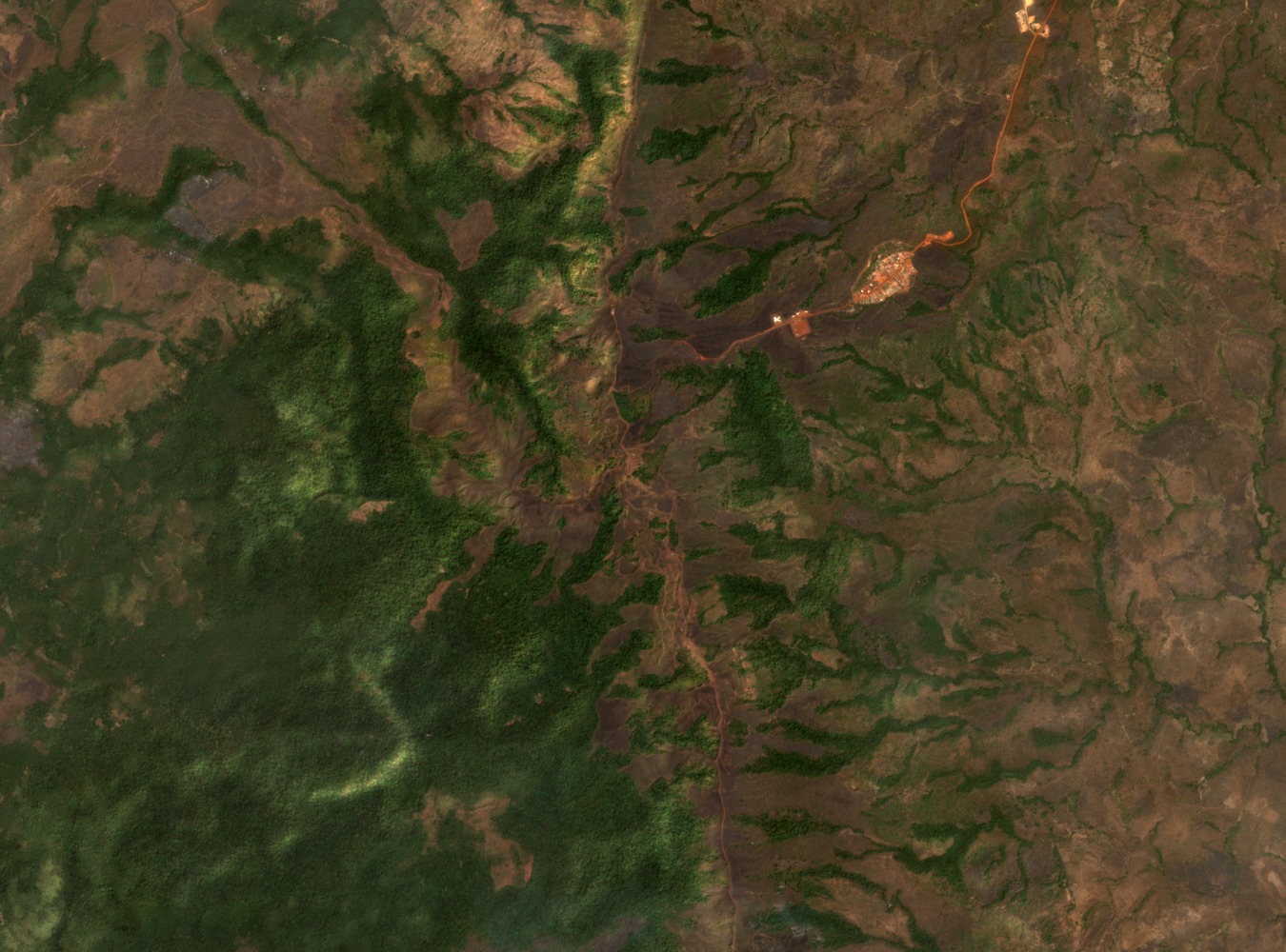
Pic de Fon is the highest summit of the southern Simandou range in southeastern Guinea. The Simandou Technical Report records its elevation at 1,656 m. A plant area assessment conducted by the Herbier National de Guinée in collaboration with the Royal Botanic Gardens, Kew, records the same summit at 1,658 m. No explanation for the difference between the two figures is given in either source.
Ridge Geology and Vegetation
The plant area assessment documents itabirite and quartzite among the ridge rocks, along with iron deposits enriched by weathering. Adjacent vegetation includes submontane forest and lateritic grasslands. The Kew assessment identifies mining activity as a concern for vegetation integrity within the area. No current project details accompany this identification.
Recent Botanical Record
A 2024 species description published via Zenodo records Gymnosiphon fonensis from submontane forest within the Pic de Fon area. The description places the species in the broader forest zone rather than at the summit. Gymnosiphon fonensis is named for the classified forest and constitutes a new record for science.