
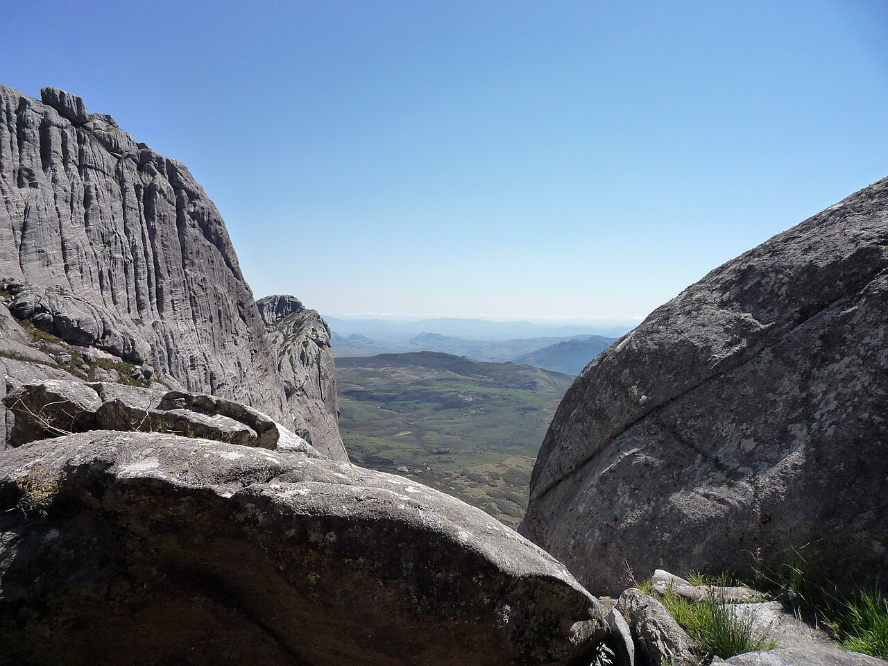
Granitic Massif and High Plateau Terrain
The Andringitra Massif is defined by ancient granitic basement rock that erosion has sculpted into smooth domes, fractured ridgelines, and broad high plateaus. Madagascar National Parks describes this relief as characteristic of the reserve, with exposed rock surfaces becoming more prevalent as elevation increases toward the 2,658 m summit of Imarivolanitra.
Vegetation Zones Across the Altitudinal Range
Dense moist forest occupies the lower elevations of Andringitra, giving way with increasing altitude to harder-leaved shrubby vegetation and open exposed habitats. The reserve's protected area documentation notes this pronounced altitudinal gradient as one of the defining ecological features of the massif, without attributing fixed elevational limits to any single vegetation type.
Rainforests of the Atsinanana World Heritage Component
Andringitra was designated as one of six components of the Rainforests of the Atsinanana serial World Heritage site in 2007. The UNEP-WCMC datasheet records the site's outstanding universal value in the context of Madagascar's biodiversity and forest ecosystems. The World Heritage designation applies to the broader protected area, not to Imarivolanitra as an individual peak.