
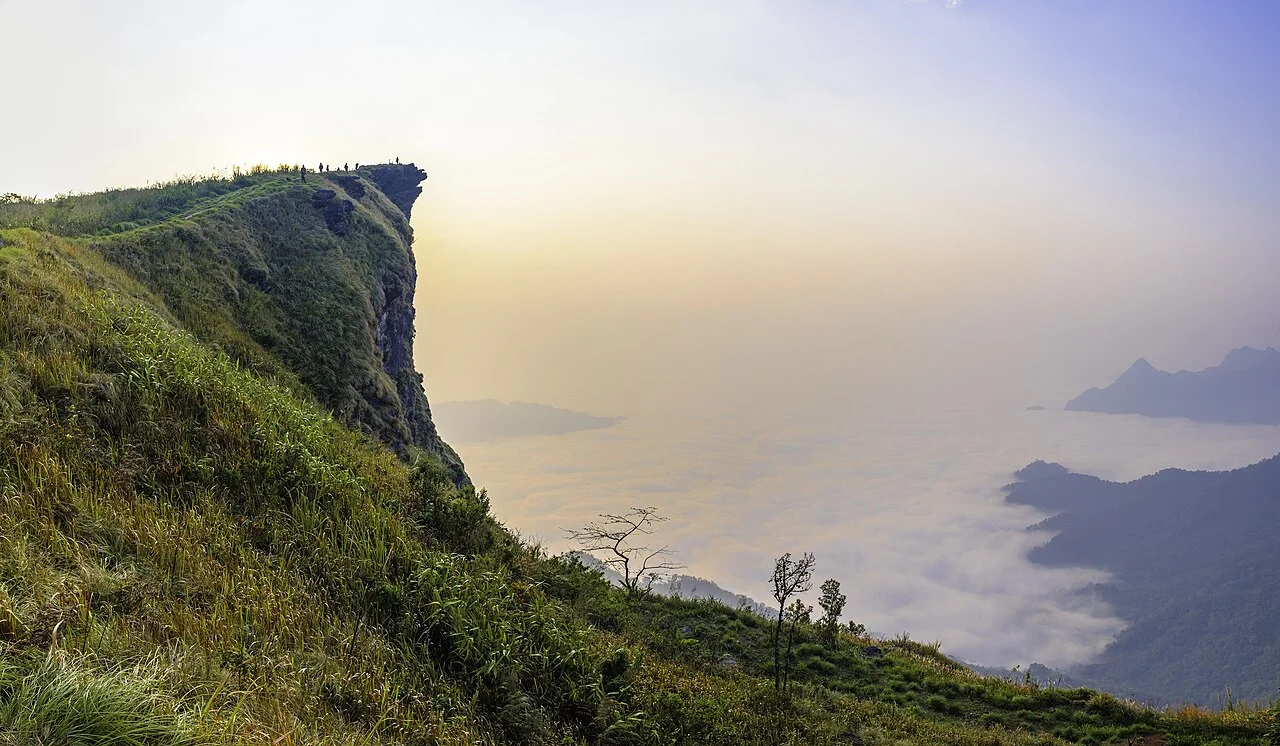
Cliff, Ridge, and Border Setting
The summit broadens into a ridge before narrowing into the projecting cliff that defines the peak. That exposed point extends beyond the ridge line above the border valley where Thailand meets Laos. This arrangement delivers an approach across comparatively level upper terrain before the cliff face itself, which commands open views across the borderlands.
Forest Park Designation
Thailand's Department of National Parks designated Phu Chi Fa a forest park on 6 February 1998. In December 2025 the Department facilitated a public consultation on a separate proposal to elevate the area to national-park status; no outcome beyond the scheduling of that consultation is established by available records.
Border Region History
The Tourism Authority of Thailand connects the wider Chiang Rai highland borderlands with the historical Communist Party of Thailand movement, active in northern highland areas during the latter twentieth century, as context for the border region in which Phu Chi Fa sits.