
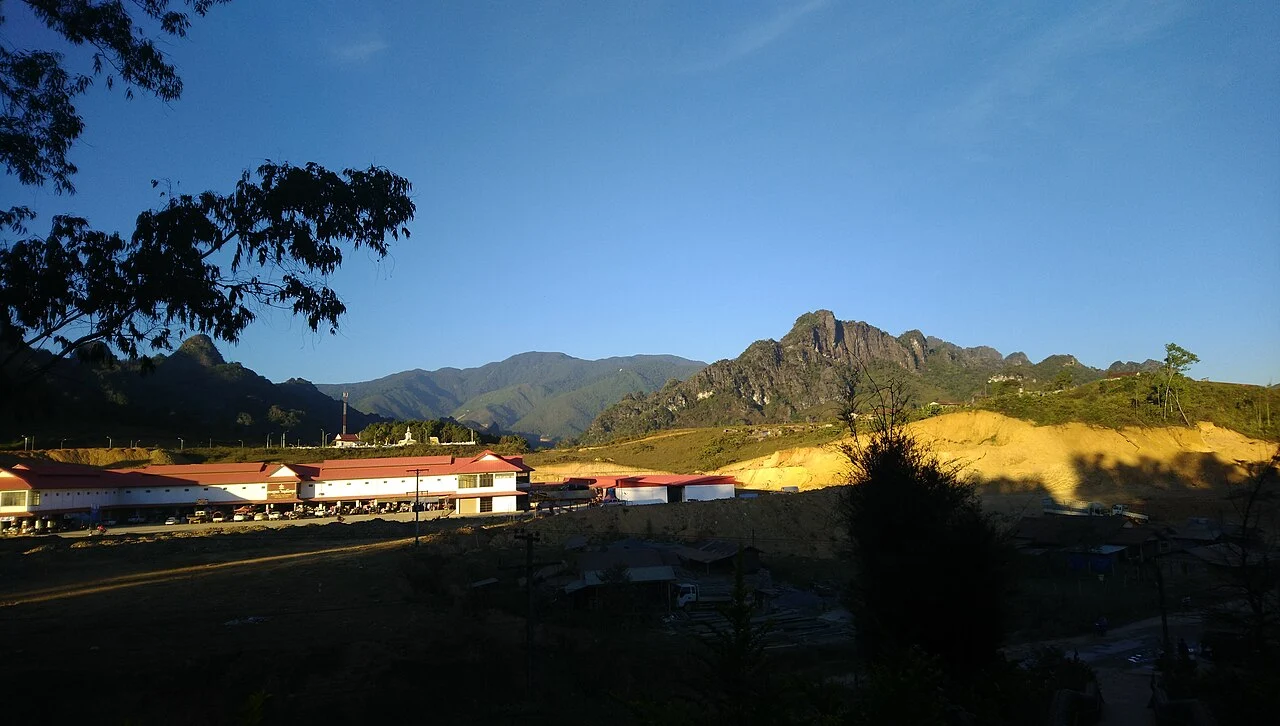
Highland Terrain and Valley Forest
The mountain rises through steep valleys that give way to grassy cover on the upper slopes. Tourism Laos documents stands of Mai Long Leng, the Lao name for Fokienia hodginsii, a cypress-family timber tree, growing in the valleys along the mountain's flanks, where cooler and moister conditions support this species below the open highland grassland above.
Xaysomboun Province and Administrative Setting
Xaysomboun Province, established on 13 December 2013, consolidated a formerly special administrative zone into a full provincial unit. Tourism Laos describes the province as a rugged highland interior, and Phou Bia, situated in Anouvong District, forms its natural apex within one of the most topographically pronounced parts of Laos.
January 2021 Tourism Proposal
In January 2021, Tourism Laos announced a proposal to develop Phou Bia and the adjacent peak of Phou Houa Xang as a tourism site. The announcement described an early-stage initiative; no subsequent reporting has confirmed that construction was completed or that visitor infrastructure was established under the proposal.