
Valley Approaches and Climbing Attempts
De Jong led an expedition in December 2000 with Myanmar guides. The approach used the Nam Lang River valley, where tracks between Wason Dum and Ziya Dum followed either side of the river. Forest tracks from Ziya Dum head west toward the mountain through dense mid-elevation cover.
On March 8, 2019, a team from the Meiktila hiking and mountaineering club attempted the peak. Six members reached approximately 11,000 ft (about 3,350 m) before snow and storms forced a halt. Fourteen others in the same expedition reached around 9,700 ft (about 2,960 m).
Protected Landscape and High-Altitude Vegetation
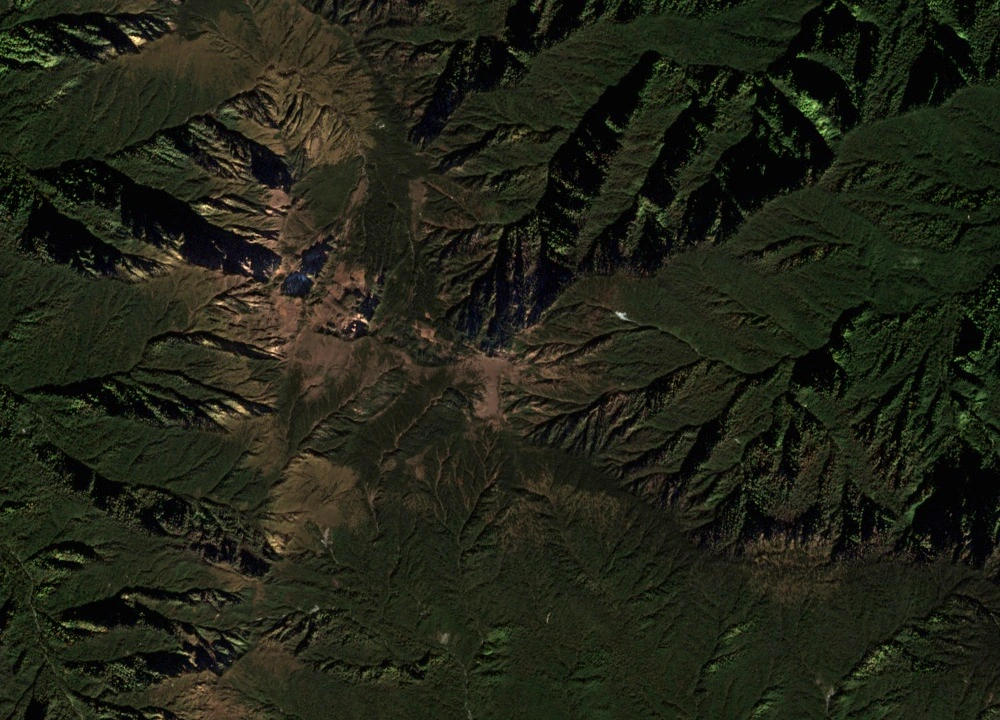
Hponkanrazi Wildlife Sanctuary was established in 2003. In 2014, Myanmar submitted the Hkakabo Razi Landscape to UNESCO's World Heritage Tentative List. That submission encompassed Hkakabo Razi National Park, Hponkanrazi Wildlife Sanctuary, and a proposed southern extension of the national park as a contiguous highland area.
The IUCN Red List of Ecosystems identifies Kachin mountain conifer forest as occupying roughly 2,700 to 3,600 m in this region. Rhododendron scrub marks the transition near the upper tree line. Regionally characteristic conifers include Abies delavayi and Larix griffithiana.
Field Studies Across the Elevation Range
A camera-trap survey conducted in two periods between December 2015 and May 2017 deployed 88 stations with usable data inside Hponkanrazi Wildlife Sanctuary. Those stations spanned 742 to 3,149 m, reaching from lower forest into the high conifer belt.
A 2020 paper in ZooKeys described a new goblin spider, Trilacuna hponkanrazi, named after the sanctuary. The type specimen was collected in May 2017 near Ziradum at around 1,100 m. Taken together, these studies sample the sanctuary across a wide band of elevations, from valley-floor forest to the high conifer zone.