
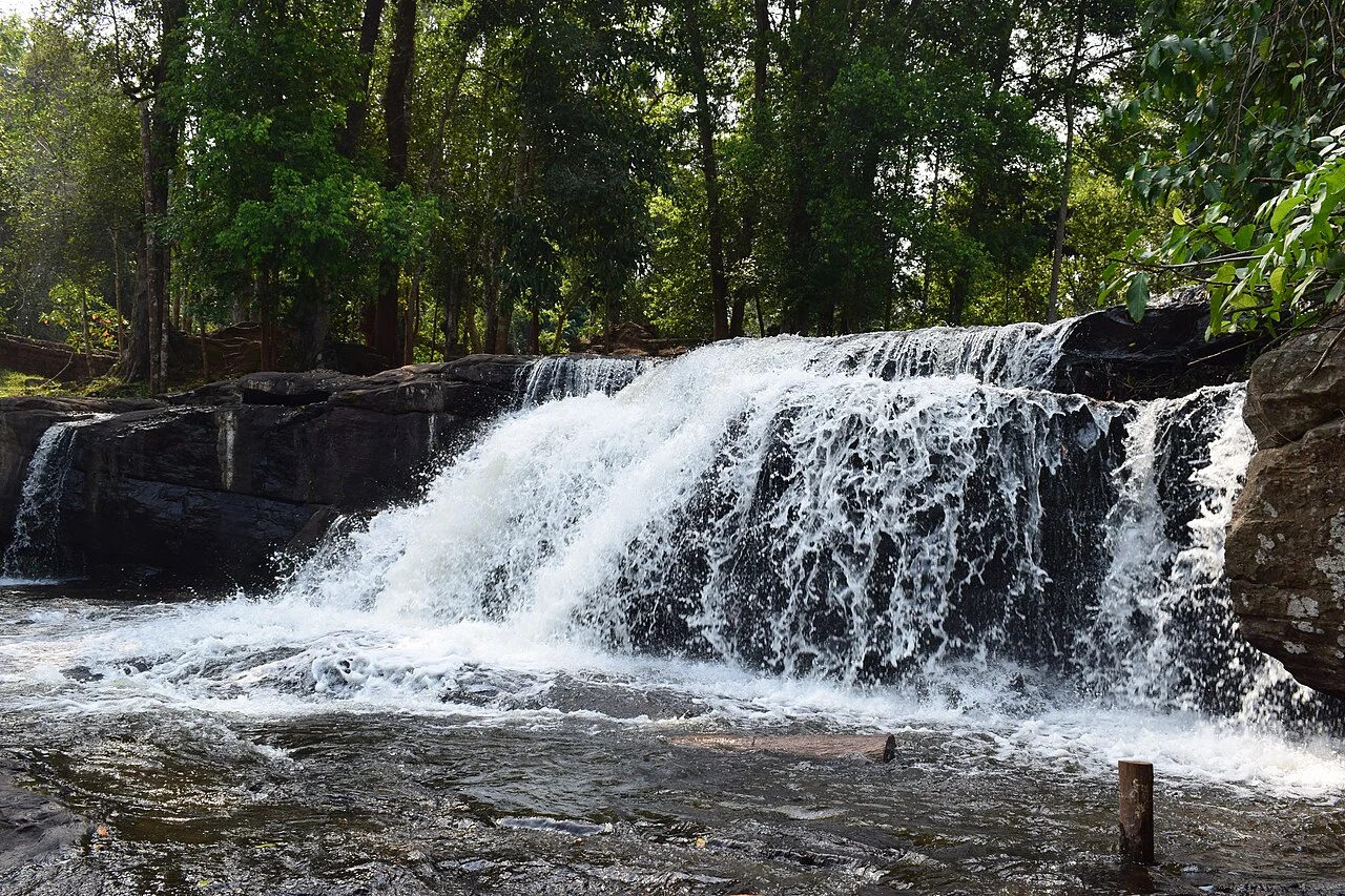
Headwaters of the Angkor Hydraulic Network
APSARA National Authority documentation identifies the Pouk, Siem Reap, and Roluos rivers, all sourced on the plateau, as the principal freshwater supply for Angkor's reservoirs and canals. The plateau's woodland cover and elevation govern catchment behaviour that sustained Khmer urban life for centuries. APSARA's Tourism Development Plan for Angkor 2021–2035 treats the upland woodland as an active component of that inherited hydrological system.
Mahendraparvata, an Early Khmer Capital
During the late eighth and early ninth centuries, the plateau served as the seat of Mahendraparvata, associated with Jayavarman II. Structures attributed to this period through dated scholarly work include the Banteay palace complex, the Rong Chen pyramid-temple, and hydraulic infrastructure managing the plateau's water resources. Cambodia's 2020 tentative World Heritage submission to UNESCO identifies Mahendraparvata as a defining element of the nomination.
Lidar Survey of an Urban Framework
A 2019 study by Chevance and colleagues, combining airborne lidar scanning with ground-based field surveys, identified an urban framework covering roughly 40–50 square kilometres, including road alignments, embankments, ponds, and an unfinished reservoir. The lidar data revealed a planned urban extent concealed under dense forest canopy. Cambodia's tentative World Heritage submission drew directly on this lidar-derived mapping to define the nominated area.