
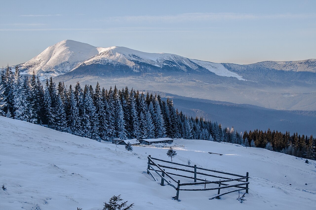
Landforms and Summit Terrain
The Carpathian Biosphere Reserve records scree fields and steep rocky sections on the upper mountain, along with remnants of glacial landforms in the surrounding area. The exposed ridgeline above the treeline forms the summit terrain, as described in reserve accounts of the approach to the peak.
Keveliv Woodland and Highland Meadows
The reserve's route documentation traces a passage through the old Keveliv woods, a stretch of spruce woodland with switchbacks climbing toward alpine terrain. The forest grades upward into patches of juniper, rhododendron, and bilberry before the ground opens onto upland vegetation. These open grassy uplands are called polonyny, a term for the high meadow zones characteristic of the Ukrainian Carpathians.
Visible Landmarks from the Ridge
From the Petros approach, the twin peaks known as Blyznytsi are visible on the separate Svydovets massif. The two summits are independently named landforms on a distinct massif, identifiable from the Chornohora ridgeline as a paired silhouette across the intervening terrain.