
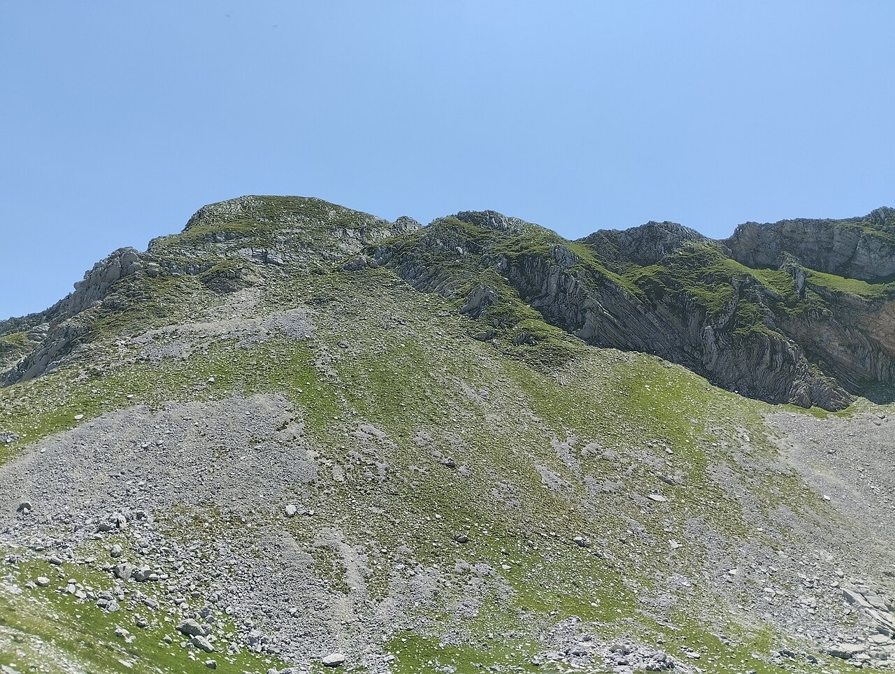
Ancient Name and Geography
The name Lakmon appears in ancient historical literature and is mapped to this massif by the ToposText gazetteer. The modern designation Lakmos and the alternate local name Peristeri refer to the same mountain, with the Tsoukarela summit at 2,295 metres marking its highest point. The Tzoumerka National Park places the massif within the central Pindus, on the Epirus and Thessaly boundary, and distinguishes it from the neighbouring Athamanika and Tzoumerka complex to the south.
Verligka and Its Meanders
On the flanks of Lakmos at around 2,000 metres lies Verligka, a high alpine meadow with seasonal water. The Greek environmental agency NECCA describes shallow sinuous channels crossing the meadow surface as meanders. The Arta Mountaineering Club observes that surface flows at Verligka are eventually swallowed by the ground, disappearing beneath the meadow after tracing their winding course across it.
Folklore and Conservation
Local folklore collected by the Arta mountaineers attributes the winding water channels to a dragon said to emerge from the meadow, whose passage shapes the water's course before it descends underground again. NECCA made an announcement in 2026 describing the restoration of access controls at Verligka following pressure from vehicles on the alpine terrain, as a protective measure for a site whose surface hydrology and vegetation could be affected by such incursions.