
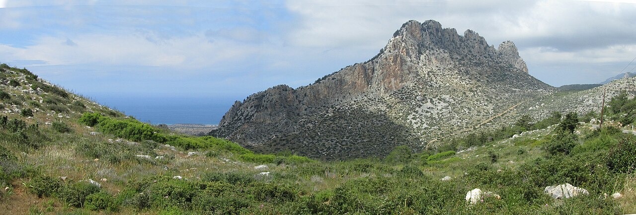
Thrust Limestone Above Younger Rock
The Geological Survey Department records that older limestone formations were driven over younger marine sediments by tectonic thrusting, reaching their present position approximately 10 million years ago. The result is a ridge of resistant carbonate rock elevated above softer underlying geology. The Kythrea flysch at the ridge base represents a contrasting rock type, layered mud-rich sediment interbedded with sandstone characteristic of deep-water marine environments.
The Five Fingers and the Range High Point
The eponymous outcrop that inspired the name Pentadaktylos in Greek and Beşparmak in Turkish is a distinct crest formation. The range's measured high point, Kyparissovouno, also documented under the name Selvili Tepe, stands separately at 1,024 m according to the University of Hohenheim's topographic documentation of northern Cyprus.
Byzantine Castles on the Ridge
Three fortified heights along the Kyrenia range — Saint Hilarion in the west, Buffavento on the ridge, and Kantara to the east — are dated by the Cyprus Department of Antiquities to the Byzantine period, when they served in the defence of the northern coast. Saint Hilarion was later adapted to include royal apartments during the Lusignan period, when the Frankish dynasty ruled Cyprus.