
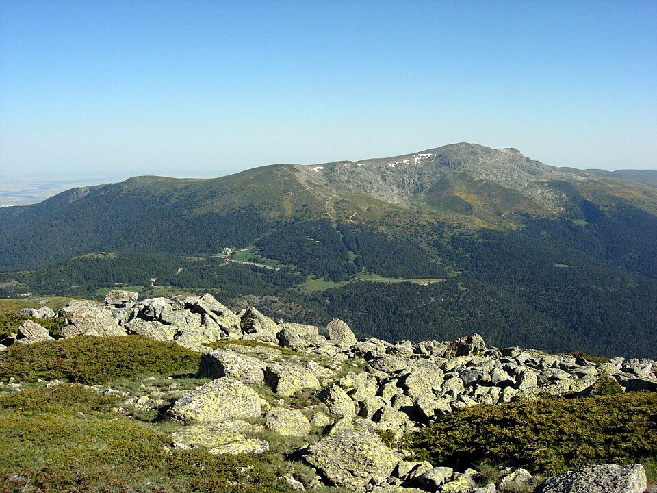
The massif and its ridge
Peñalara is not an isolated peak but the culmination of a massif that bears the same name. That massif is defined by a ridge of peaks 5.8 kilometres long running from south to north between the Puerto de Cotos, at 1,829 metres, and the Puerto de Los Neveros, at 2,096 metres. This line of crests coincides exactly with the administrative boundary between the Community of Madrid and the community of Castile and León, so that the mountain divide and the political divide overlap along this stretch of the sierra.
Within the massif, the peaks align from southwest to northeast: Dos Hermanas, Peñalara, Risco de los Claveles and Risco de los Pájaros. The substrate is predominantly gneissic, a metamorphic rock that gives the landscape its characteristic texture and contrasts with the Scots pine forests that cover the lower slopes.
Prominence and reference in the Central System
Peñalara's topographic prominence is 1,111 metres, calculated with respect to its key col at the Puerto del Boquerón, at 1,317 metres altitude and roughly 11 kilometres southeast of Ávila. Its parent peak — that is, the highest summit to which Peñalara is topographically subordinate — is Pico Almanzor, at 2,591 metres. These figures place Peñalara as a mountain with its own identity within the Central System, even though its position in the peninsular altimetric hierarchy inevitably links it to the system as a whole.
At the summit
At the top of Peñalara stands a geodetic vertex, a cartographic reference of the Instituto Geográfico Nacional, alongside several wooden signs pointing to various routes from the summit. The presence of these features at the highest point of Guadarrama reflects Peñalara's status as a convergence point for trails in one of the most accessible and frequented mountain systems of the Iberian Peninsula.