
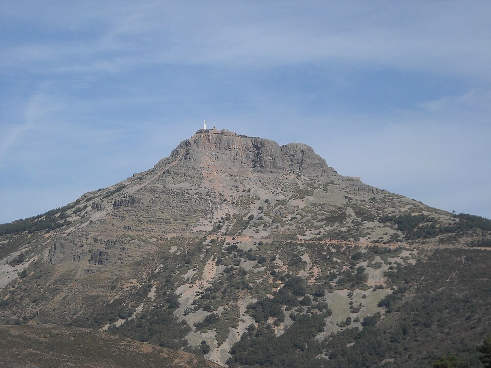
A mountain in the Central System
The Sierra de Francia, of which Peña de Francia is one of the most prominent summits, forms part of the Iberian Central System. This geographical position places it in a western sector of the system where the ranges reach their greatest relative heights within the province of Salamanca. The municipality of El Cabaco, to which the summit belongs, is the administrative setting of a relief that visually dominates a wide territory.
The separation of the Peña de Francia synclinorium from the Tamames syncline occurs through the granitic outcrop of La Alberca, one of the structural elements that articulate this sector of the range.
Geology: folds and Ordovician quartzites
Peña de Francia is a notable example of structural geology. It constitutes a highly complex folded structure that underpins the highest ranges of this western sector of the Central System. Over an architecture deformed into folds of various types, the resistant beds of Ordovician quartzites and their basal conglomerates act as the differentiating element of the relief, sharply accentuating the landforms.
The most distinctive geological feature of the summit is that it corresponds to a perched syncline — that is, a structure in which the folded core has resisted erosion better than the surrounding flanks, inverting the usual relationship between topographic form and geological structure. This type of inverted relief is a direct expression of the resistance of Ordovician quartzites to erosive agents.
The synclinorium and its surroundings
The Peña de Francia synclinorium forms its own structural unit within the eponymous range, differentiated from the Tamames syncline by the aforementioned granitic outcrop of La Alberca. This geological compartmentalisation defines distinct landscapes within short distances, a characteristic that makes this sector of Salamanca a territory of notable interest for those who study the relationship between substrate structure and landform morphology.