
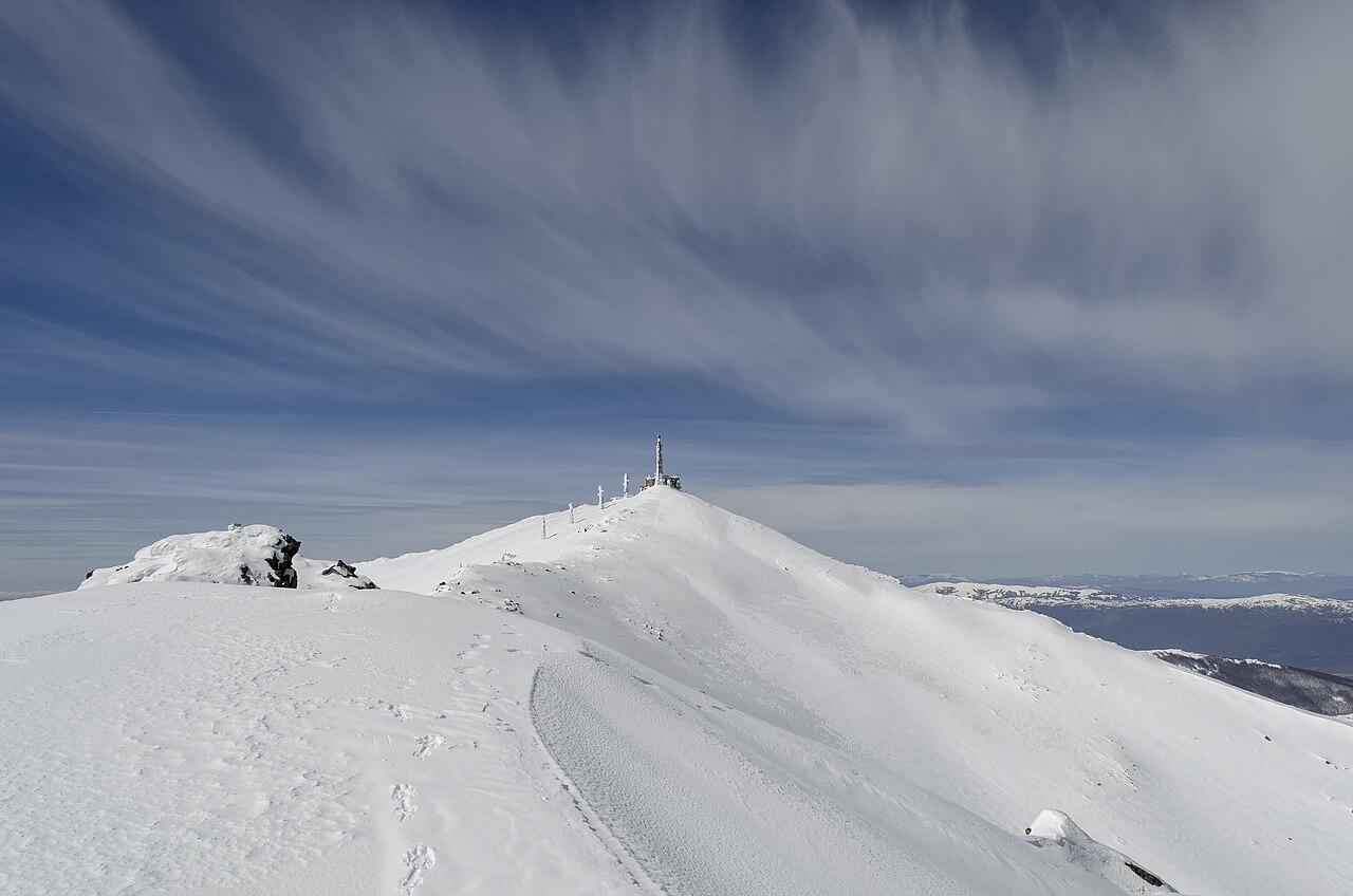
Glacial Landforms of the Baba Massif
North Macedonia's national nature protection strategy identifies glacial cirques, moraines, and rock streams across the Baba massif. Ice excavated the cirques and deposited the moraines during past cold periods, while the stone rivers — sometimes called rock streams — represent separate cold-climate slope processes in which frost action mobilized coarse debris downslope without glacial ice. These landforms are distributed across the massif rather than concentrated at the Pelister summit alone.
Golemo Pelistersko Ezero
A 2025 hydrological survey published in Geoheritage reports a maximum depth of 17.2 m for Golemo Pelistersko Ezero, identifying it as the deepest glacial lake in North Macedonia. The lake occupies a glacially excavated basin within the Baba massif below the main crest, its depth a direct record of how far ice scoured the bedrock during the periods that also formed the surrounding moraines.
Macedonian Pine and the National Park
Pelister National Park was established in part to protect stands of Macedonian pine, Pinus peuce, a species whose range is restricted to several Balkan ranges. The Official Gazette of North Macedonia records the main Baba crest and the 2,601 m Pelister summit within the park's boundaries, placing both the high alpine zone and the pine forests under a single protected designation that the park's 2021–2030 management plan continues to administer.