
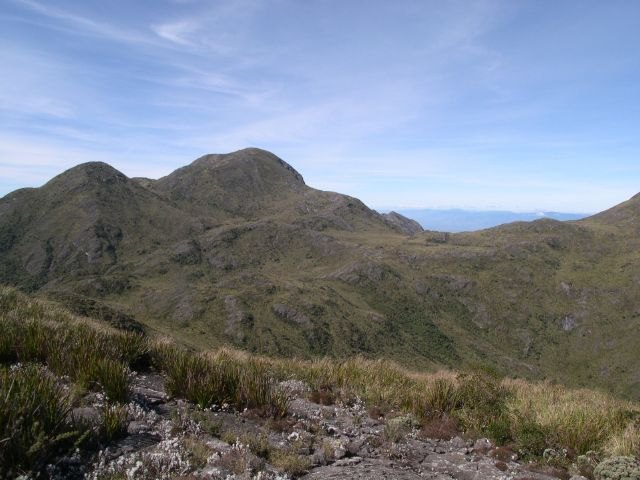
A supremacy overlooked until 1999
Without precise measurements of the Serra Fina's mountains, Pico das Agulhas Negras figured until 1999 as the highest point in the Serra da Mantiqueira, with an official altitude of 2,787 metres. It was in that year that Lorenzo Giuliano Bagini, then an undergraduate student at the University of São Paulo (USP) and today a geographer, began an investigation that would call that established hierarchy into question. Bagini's research raised the hypothesis that Pedra da Mina might in fact surpass Agulhas Negras in altitude — a suspicion that awaited field confirmation.
The 2004 expedition and confirmation of the altitudes
Definitive verification came with a joint expedition carried out in 2004 as part of a broader altimetric survey project. Both Pedra da Mina and Pico das Agulhas Negras were climbed and their altitudes measured with precision. The results confirmed the hypothesis: Pedra da Mina recorded 2,798.39 metres, against 2,791.55 metres for Agulhas Negras — a difference of 6.84 metres that redefined the geography of the Mantiqueira and transferred the title of the range's highest point to a peak that had until then been secondary in official references.
The 2016 geodetic adjustment
The most recent chapter in the altimetric history of Pedra da Mina was written by IBGE following a new mapping exercise concluded in 2015. The institute carried out a more precise survey of the Brazilian geoid — the irregular imaginary surface based on the Earth's gravitational field that serves as the reference for calculating altitudes. With the new geodetic reference established, the altitudes measured during the 2004 expedition were recalculated, and the new figures were published in February 2016. The official altitude of Pedra da Mina became 2,798.2 metres, a figure that IBGE has maintained in its statistical yearbooks through 2024.