
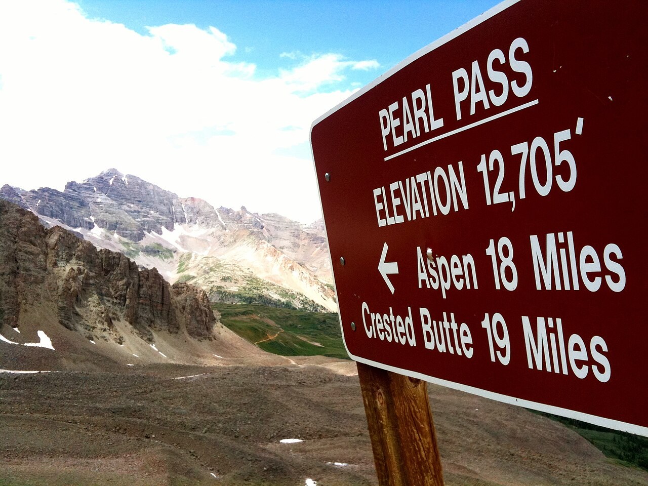
Topography and the Pass Sign
The official topographic quadrangle defines the saddle's position and adjoining drainages. A marker photographed at the pass reads 12,705 feet.
The 1882 Wagon Road
An 1882 wagon road was constructed across the gap to support mining transport between the Aspen area and Crested Butte's railhead. Aspen Historical Society records document concurrent efforts toward mail and coach routes in the same year, though not all proposed stagecoach services are confirmed to have operated.
The 1976 Klunker Tour
In 1976, local riders from Crested Butte pushed and pedaled single-speed cruiser bicycles—commonly called klunkers—over the pass to Aspen. Both a contemporary account in the Crested Butte Pilot and archives at the Mountain Bike Hall of Fame document the outing and subsequent events.