
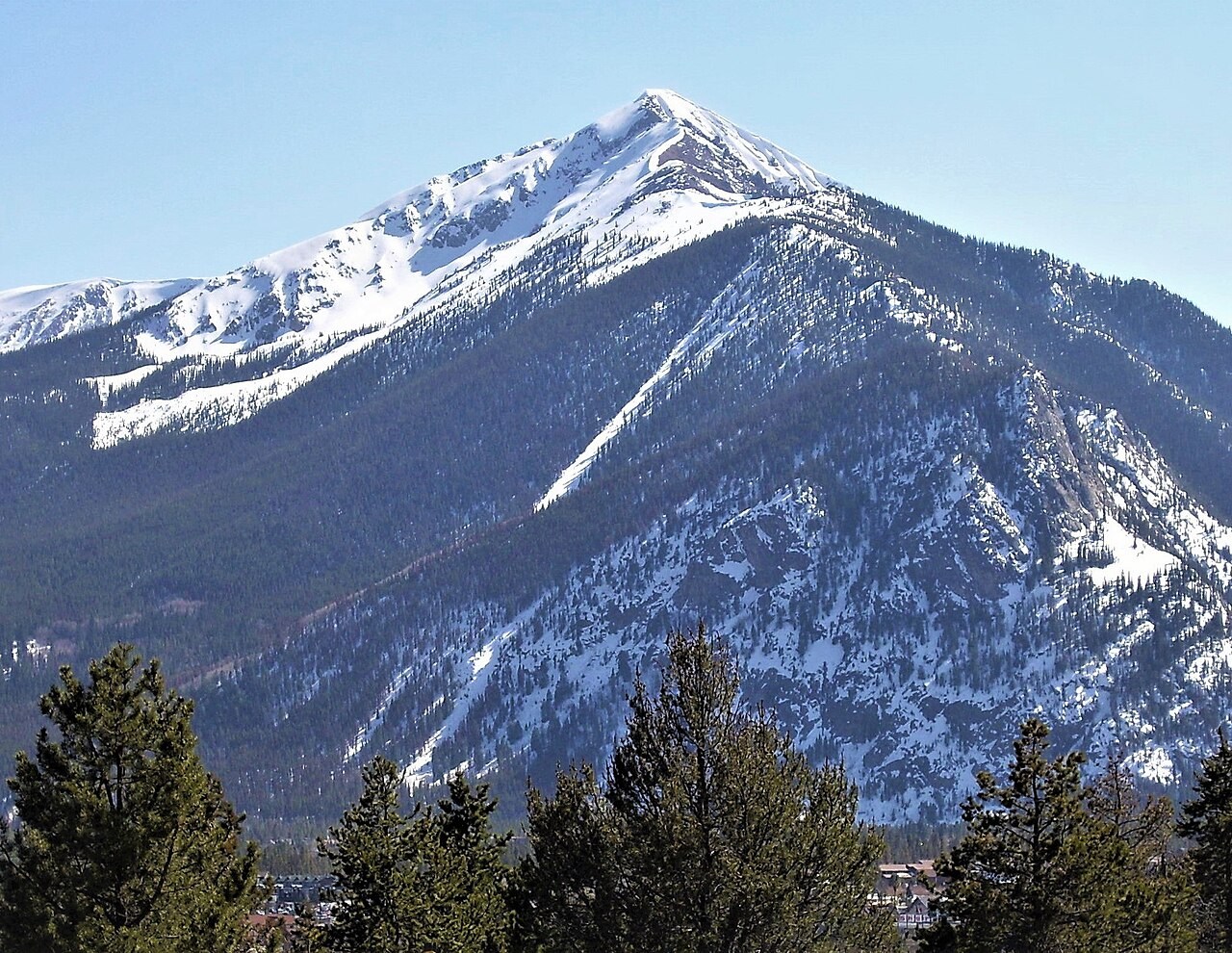
Geology and Survey
USGS geologist M. H. Bergendahl mapped the northern Tenmile Range in 1963, documenting basement rocks and younger geological features that characterize the range's northern portion.
Naming and the Melzer Proposal
The USGS naming database records a proposal to rename the peak Melzer Peak, submitted in June 1986. The Board on Geographic Names rejected that proposal on February 12, 1987, and Peak One was retained as the official designation.
Human History on the Lower Slopes
The 2022 Camp Hale–Continental Divide National Monument proclamation names Peak One among the undeveloped mountains of the Tenmile area and records the Mount Royal/Peak One Ski Jumps, including a surviving structural remnant of a judges' platform, on or near the lower slopes. Separately, the settlement of Masontown occupied lower Mount Royal; its mine, dwellings, and mill were progressively abandoned or destroyed, with the mill taken out by avalanche in 1912.