
A Number on the 1967 Map
The US Geological Survey’s Elkhorn Creek quadrangle marks 11,967 feet on the ridge. Climbers adopted the printed elevation as a name. A lidar measurement cited by guidebook author Tom Lopez puts the highest point at 11,985 feet, or about 3,653 metres. It stands at the north end of the ridge, above the lower South Summit.
The Climber Behind Mount Dye
The informal name Mount Dye honours Lyman Dye, who was among the early technical climbers in the Lost River Range. In his memoir, Dye recalls moving to the town of Arco in 1958. Lopez credits Dye and Wayne Boyer with a probable ascent in the early 1960s. The exact date remains uncertain.
The Ridge in Photographs
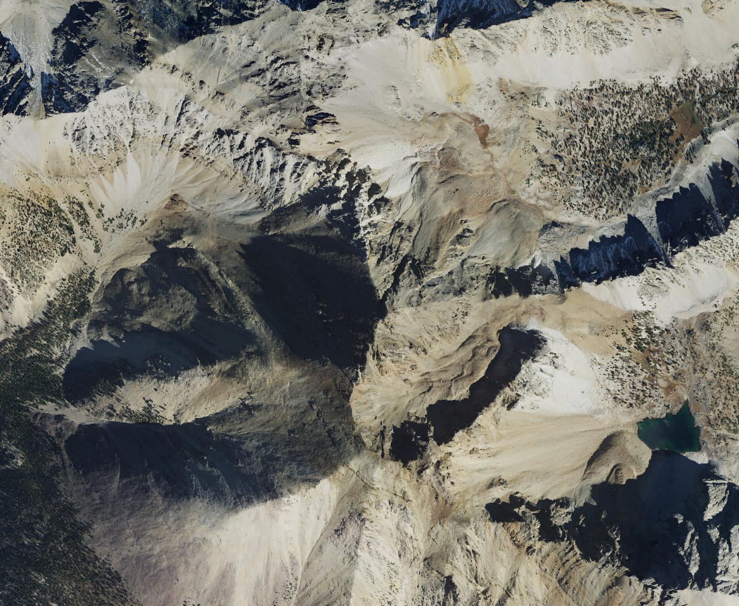
Lopez’s guide lists a 1993 ascent and shows Dana Hansen climbing the southern rib and standing on the summit. In a separate illustrated account, climbers photographed the ridge from Mount Idaho. The 2021 aerial photograph shows the same series of rocky high points from above.