
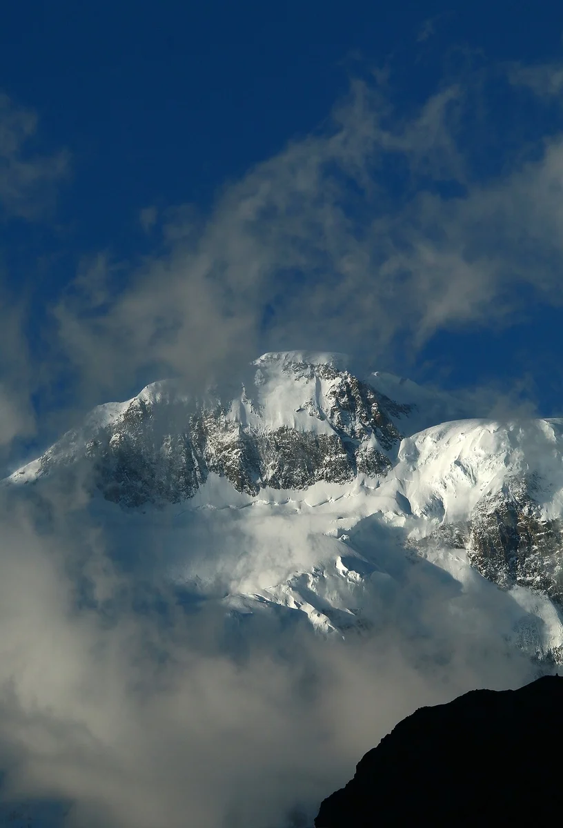
Location and Identity
Passu Sar sits in the Batura Muztagh subrange of the Karakoram and is also recorded as Pasu Sar and Pasu I. The neighbouring peak Passu Diar, or Pasu II, reaches 7,295 metres according to the 2002 American Alpine Journal, and should not be confused with Passu Sar. The Passu Cones, a separate formation, rise prominently above the valley floor nearby.
First Ascent
On August 7, 1994, Max Wallner, Dirk Naumann, Ralf Lehmann, and Volker Wurnig reached the summit of Passu Sar. Their firsthand account records that the team skied down to Camp II on the descent and describes poor snow conditions on the route.
Later Exploration
A 2001 expedition encountered a steep icefall that halted their ascent. Before attempting the climb, the team consulted a high-altitude porter from Gulmit to resolve inconsistent names appearing on available maps. As Damien Gildea's own report describes, that local consultation confirmed the identity of the summit they were attempting to reach.