
A collapse that remade the landscape
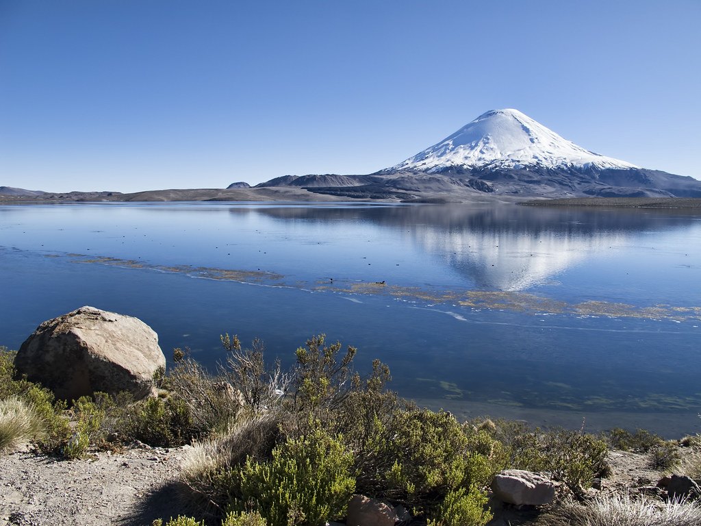
At some point in the geological past, a flank collapse generated a debris avalanche that traveled westward. According to estimates from the Smithsonian's Global Volcanism Program, the deposit extended some 22 kilometers in that direction. The movement of material blocked the natural drainage of the area and gave rise to Lake Chungará, located on the Chilean side of the border.
The reconstruction of the volcanic edifice
After the collapse, new eruptions rebuilt the edifice and restored the symmetrical form that characterizes it today. The reconstruction was not limited to the summit. Young flows identified on the western flanks and the Ajata satellite cone group, located to the south and southwest of the main volcano, indicate that the constructive activity encompassed different parts of the volcanic apparatus.
Volcanic status and activity records
The Smithsonian's Global Volcanism Program notes that no historical eruptions of Parinacota are known — that is, events recorded in written records or documented testimony. Exposure dating using the helium-3 isotope indicates activity within the last two millennia. These data come from geochronological methods, not from chronicles, and it is therefore not accurate to describe the volcano as extinct or to assign a specific date to its last activity based on those estimates.