
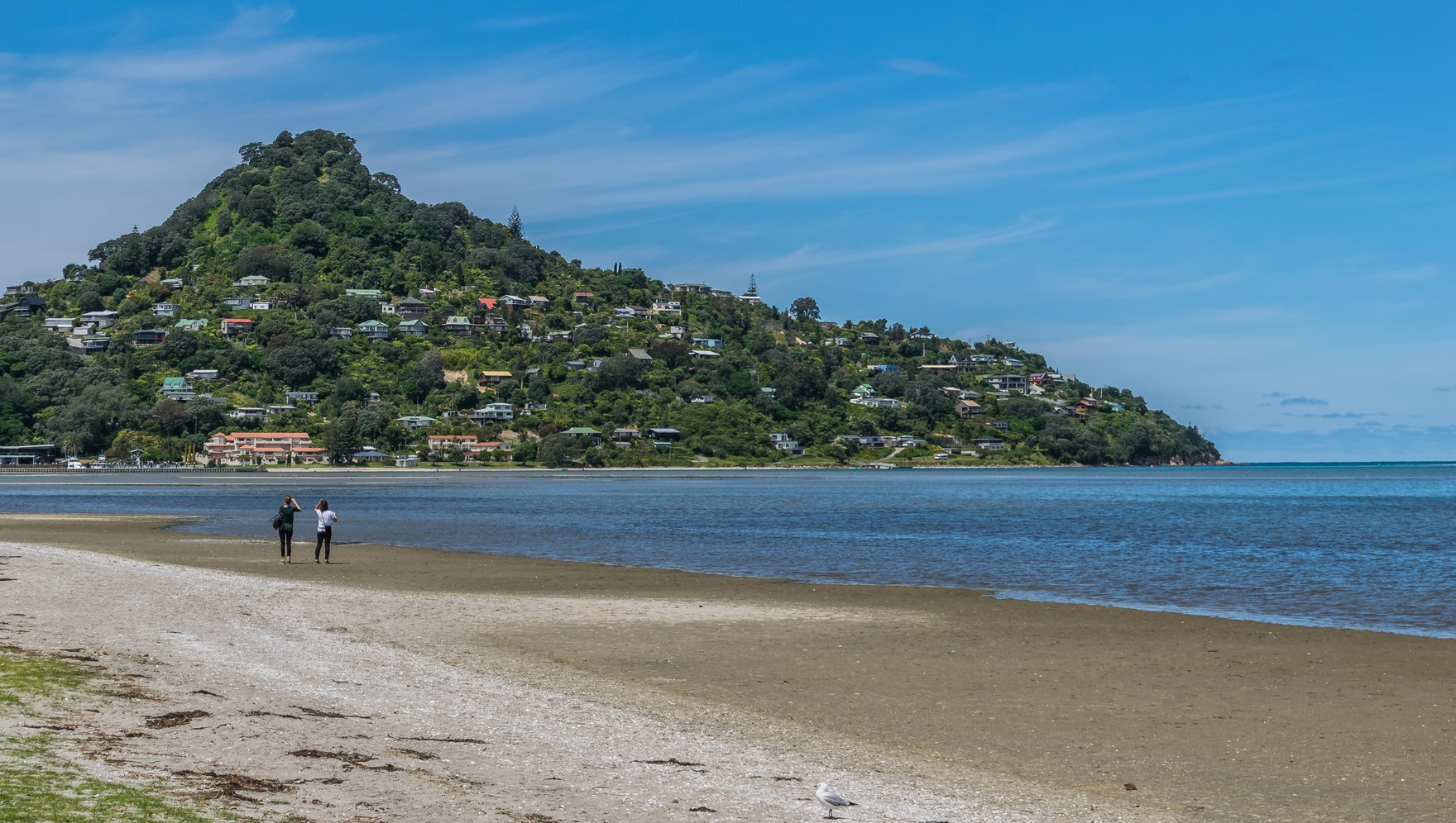
Volcanic Form and Rock
GeoTrips identifies Paku as a rhyolite dome produced by silica-rich, viscous lava. Outcrops near the base show volcanic-flow banding, a visible record of how the lava moved and cooled as it built the hill. This dome form and the character of the rock set Paku apart from the softer coastal landforms around it.
Harbour Entrance and Coastal Setting
Paku stands at the harbour entrance where the volcanic headland meets the Tairua estuary, a drowned river valley formed as rising sea levels flooded the former river course. The contrast between the solid volcanic mass of the headland and the inundated valley floor is the defining geographic feature of the site. A coastal landscape study of the Waikato region treats Paku as central to the natural character of this section of the Coromandel coast rather than as an isolated landform.
Headland and Name
The LINZ gazetteer records the feature name as Paku, the form used in official New Zealand nomenclature. The headland is geographically distinct from the settlements of Tairua on one side and the Pauanui coast across the harbour mouth on the other. Its volcanic prominence marks the boundary between the estuary and the open harbour.