
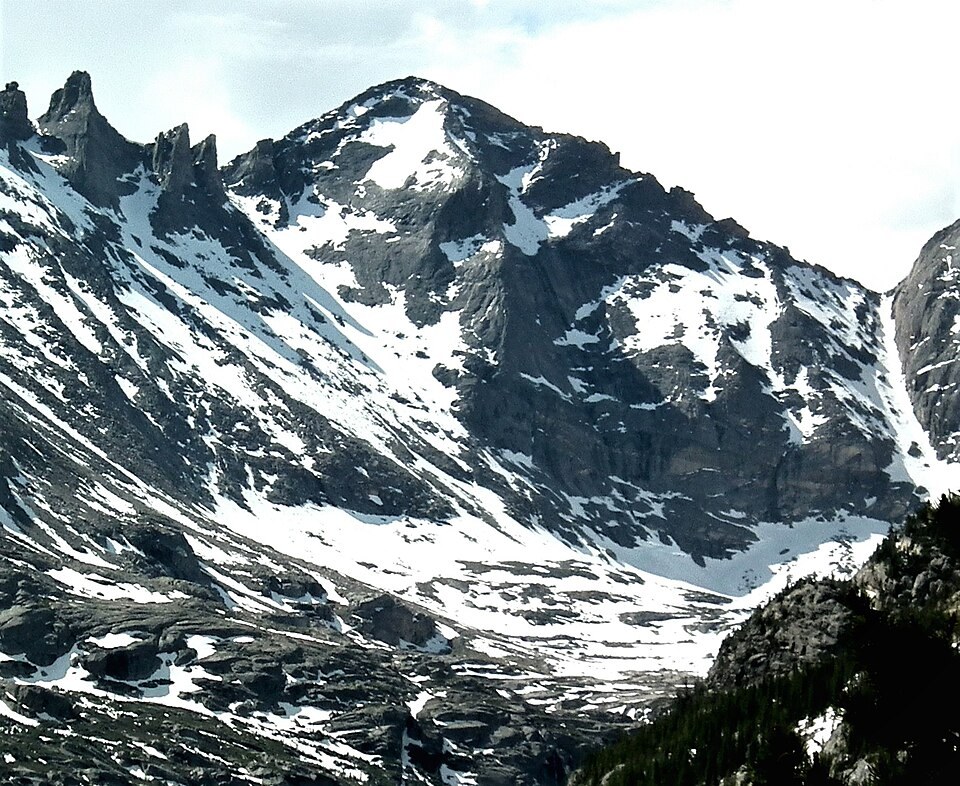
Rock Structure on the South Ridge
USGS photographs show light gray granite sheets intruding older dark biotite gneiss along the south ridge, the result of magma moving between existing rock layers. The western face displays alternating light and dark bands produced by the same intrusive process.
A Traverse in 1916
On 10 August 1916, Roger W. Toll and Francis E. Bouck completed a traverse linking Pagoda with Longs Peak and Mount Meeker from a camp in Wild Basin. Their account describes the mountain's steep sides and a small cairn they built at the summit. The Colorado Mountain Club's archive connects this outing to the club's 1916 program.
Position and Name
The mountain sits between Longs Peak and Chiefs Head Peak along a connecting ridge at the head of the gorge. The Board on Geographic Names recorded the current name in 1911, entering Pagoda on official maps of what is now Rocky Mountain National Park.