
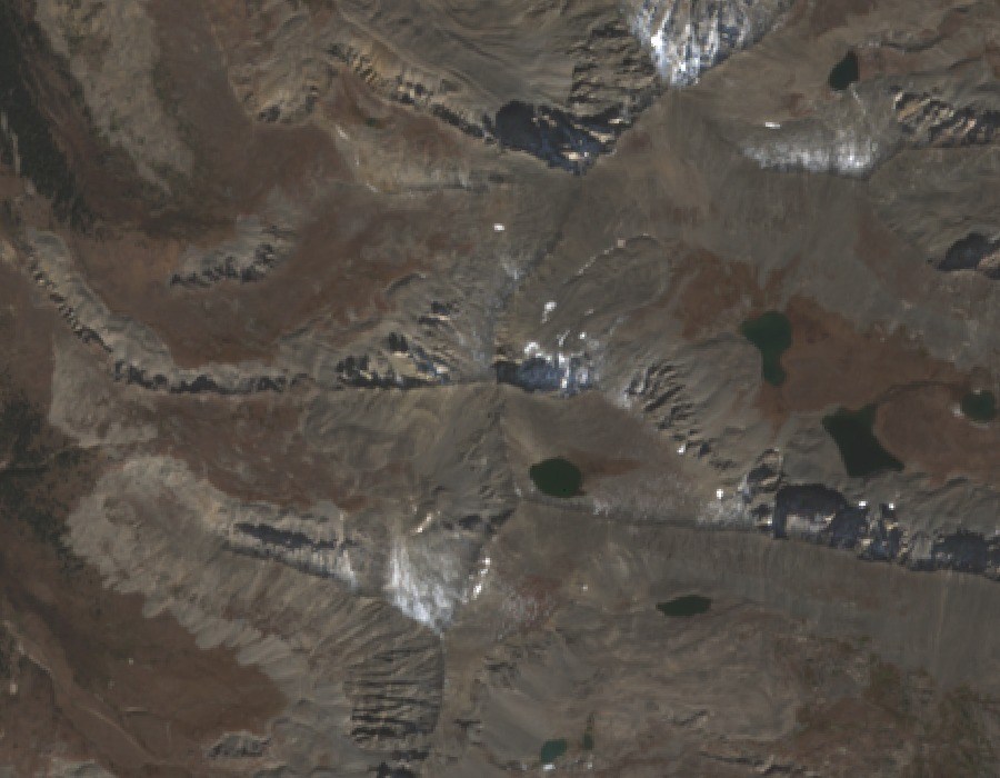
Pacific Tarn
Pacific Tarn lies approximately half a kilometre southeast of the summit at an elevation of approximately 4,090 m (13,420 feet). In July 2002, researcher Carl Drews collected water samples and measured the tarn's depth as part of a formal field survey; he subsequently proposed the name, which federal gazetteer records assign for the lake's proximity to the peak. The 2022 Presidential Proclamation 10476 describes the tarn as the highest named lake in the United States at that elevation, a designation specific to that officially named feature.
Spruce Creek Rock Glacier
The northeast cirque of Pacific Peak supplies the Spruce Creek rock glacier, a debris-covered mass of ice and rock moving downslope. A published study used seismic measurements and field surveys to separate internal ice deformation from motion at its base, establishing the feature's kinematics through direct instrumentation.
Monument Designation
Presidential Proclamation 10476, signed in 2022, incorporated Pacific Peak's terrain into the Camp Hale–Continental Divide National Monument and identified both Pacific Tarn and the Spruce Creek rock glacier as distinct features within the Tenmile Range section of that monument.