
The heights on older maps
Writing in Lo Scarpone in 1986, the Italian Alpine Club author lists the heights on two maps. World Aeronautical Chart no. 987, issued in 1957 at 1:1,000,000, gave 16,250 ft, about 4,953 m, and carried a warning about the reliability of the terrain information. A Bartholomew map at 1:5,800,000 gave 4,922 m. The UNEP World Conservation Monitoring Centre later recorded 4,922 m in its Lorentz National Park datasheet.
Several other maps omitted Gunung Daam, as the 1986 account noted. On the two maps that did give it a height, the mark was even higher than Trikora, which the US Geological Survey gives as 4,730 m. The gazetteer point carrying the Daam name lies west-southwest of that prominent neighbour.
What spaceborne surveys measured
Two elevation grids sampled at the gazetteer point give similar readings. NASA’s Shuttle Radar Topography Mission grid gives 3,194 m and the ASTER grid gives 3,184 m. A check of 121 points spaced about 220 m apart across a 2.2 km square found the highest sampled reading at the named point in both grids.
The readings describe the land surface in grids spaced roughly 30 m apart. They put this part of the ridge about 1,700 m below the height printed on the old charts. The evidence gives a location and a modern estimate for Osua Daam, while the origin of the historical chart figures remains unresolved.
Reading the forested ridges
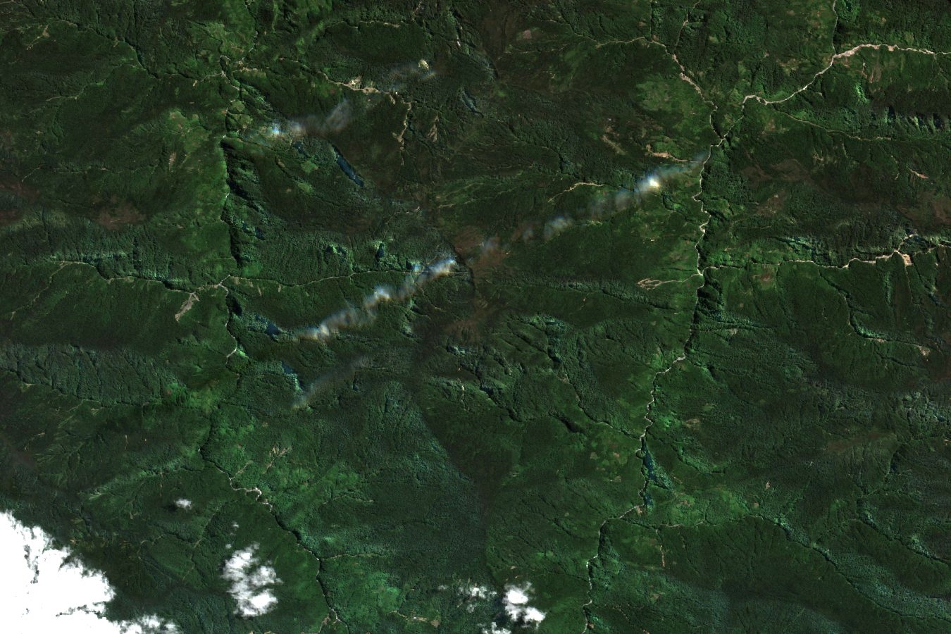
The Sentinel-2A image from 12 August 2026 centres on the gazetteer position of Osua Daam. The crest sits amid dark forest, with short ridges dropping steeply toward narrow valleys. Pale lines and a few openings break the canopy, and thin clouds cross parts of the image.
These highlands form part of the Maoke mountain system. The neighbouring Lorentz landscape, inscribed on the World Heritage List in 1999, extends from clouded highland ridges to the plain and coast. The Daam records show what can happen when a number on a small-scale map outlasts the evidence behind it.