
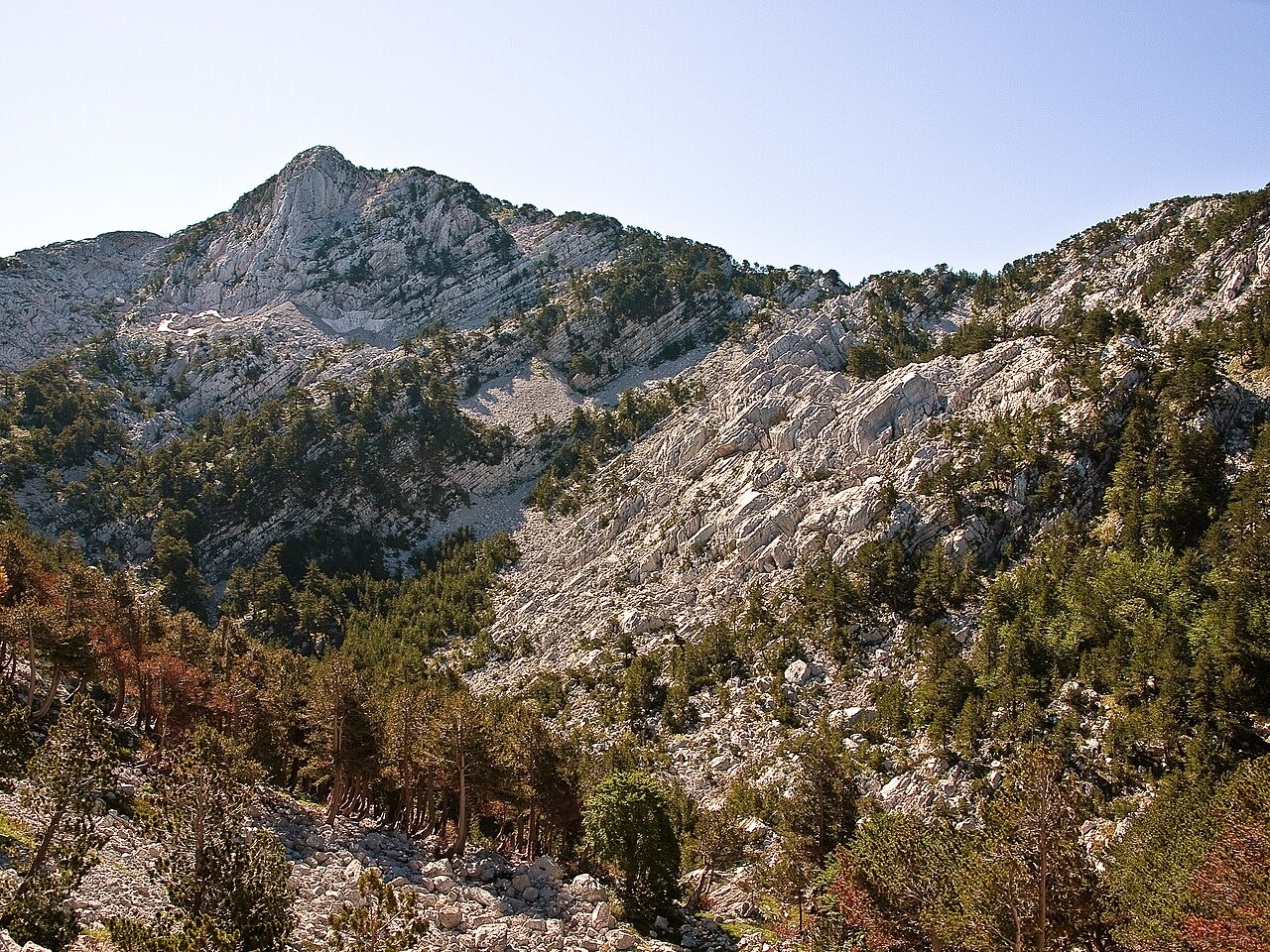
Karst Terrain and Poljes
Precipitation enters fractures and sinkholes in the limestone. The regional Key Biodiversity Area assessment records the Crkvičko and Grahovsko poljes near the massif. A polje is a broad flat-floored karst depression.
Pleistocene Ice Caps
Hughes and colleagues dated secondary carbonate deposits formed within glacial moraines on Orjen and inferred that the most extensive ice cover occurred during the Middle Pleistocene. Their reconstruction estimates the largest ice cap covered about 165 square km and correlates it with regional glaciation roughly 480,000–430,000 years ago.
Bosnian Pine and Vegetation Monitoring
Pinus heldreichii, Bosnian pine, reaches the rocky upper ridges of Orjen. The park agency identifies stands near Pavlovića do and Orjensko sedlo. The agency's 2025 monitoring plan includes mapping stands at lower elevations, where Bosnian pine can overlap with black pine (Pinus nigra).