
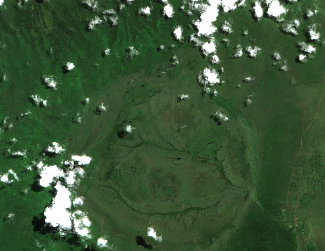
Collapse Formation and Crater Highlands Context
The Ngorongoro Conservation Area Authority identifies Olmoti as a collapse-formed caldera, part of the broader Crater Highlands chain shaped by successive volcanic episodes. The caldera's broad, grass-floored interior reflects the subsidence that followed eruption, leaving walls that expose successive lava flows laid down over an extended period of volcanic activity.
Wall Lava Age and Geochemical Character
Research published in the Journal of African Earth Sciences applied argon-isotope dating to lavas sampled from Olmoti's crater walls, returning ages of approximately 2.01 to 1.80 million years. The rock chemistry and ages of these lavas are compatible with a possible contribution of volcanic ash to the upper Olduvai Bed I sequence and the Olpiro Beds at Laetoli, an association that supports efforts to correlate the fossil-bearing sedimentary record across the region.
Munge River Drainage to Lake Magadi
The Munge River drains from the Olmoti crater area and flows into Lake Magadi, the shallow soda lake occupying the floor of the neighboring Ngorongoro Crater. This drainage links Olmoti hydrologically to one of the Conservation Area's most studied basins and contributes to the wetland habitats that characterize the Ngorongoro landscape.