
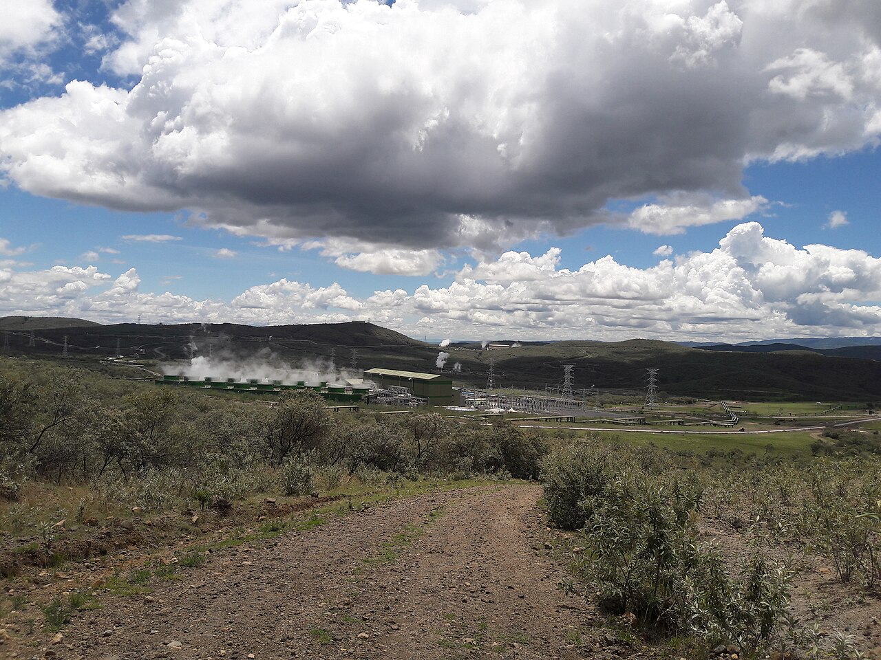
Caldera Structure and Rhyolite Centres
The Olkaria Volcanic Complex lies south of Lake Naivasha and west of Longonot at a field elevation of 2,434 m. The Smithsonian Global Volcanism Program separately records the Olkaria cone at 2,426 m, distinguishing this sub-feature from the broader volcanic field. Up to 80 rhyolite centres, including domes and flows, largely conceal an underlying caldera measuring 11 by 7.5 km. The caldera is estimated at approximately 20,000 years old, having formed following the eruption of rhyolitic ignimbrites.
Basalt and Peralkaline Rhyolite Chemistry
A USGS-hosted study analysed the chemical compositions of basalt and peralkaline rhyolite erupted from the complex. The research identified crystallization and magma mixing as processes operating within the system, based on lava samples drawn from centres across the field.
Geothermal Development at Hell's Gate
Kenya's first geothermal power station at Olkaria entered service with a 15 MW unit in 1981, located within the Hell's Gate area. Published geological assessments of the Olkaria fields document that faults crossing the complex may channel fluid flow at depth, concentrating heated groundwater and steam, with correspondence between mapped surface faults and subsurface temperature and fluid distribution recorded in boreholes.