
Ridge Geography and the Gregory Rift
The Aberdares are a volcanic range that forms the eastern wall of the Gregory Rift. Ol Donyo Lesatima stands at the northern end of the range. A high saddle with elevations above 3,000 m connects it southward to Mount Kinangop, the range's other principal peak, running between the two summits across an extended high-altitude corridor.
Vegetation Zones and Rock Formations
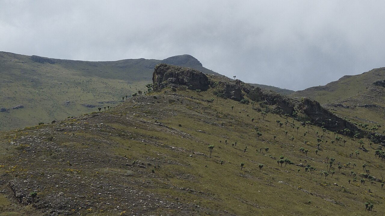
KBA documents the Aberdare Range as supporting forest belts, bamboo zones, open moorland, and highland lobelia at higher elevations. Within Aberdare National Park, KWS identifies the Dragon Teeth as named rock formations of the high terrain. No source records their exact position relative to the summit of Ol Donyo Lesatima.
Botanical Diversity of the Aberdare Forests
A 2020 vascular plant checklist by Kipkoech et al. recorded 1,260 taxa from the Aberdare Ranges Forest, compiled from field records and herbarium specimens drawn from across the forest as a whole. This figure represents the documented botanical richness of the range as a landscape unit and is not assigned to any single summit or elevation band within it.