
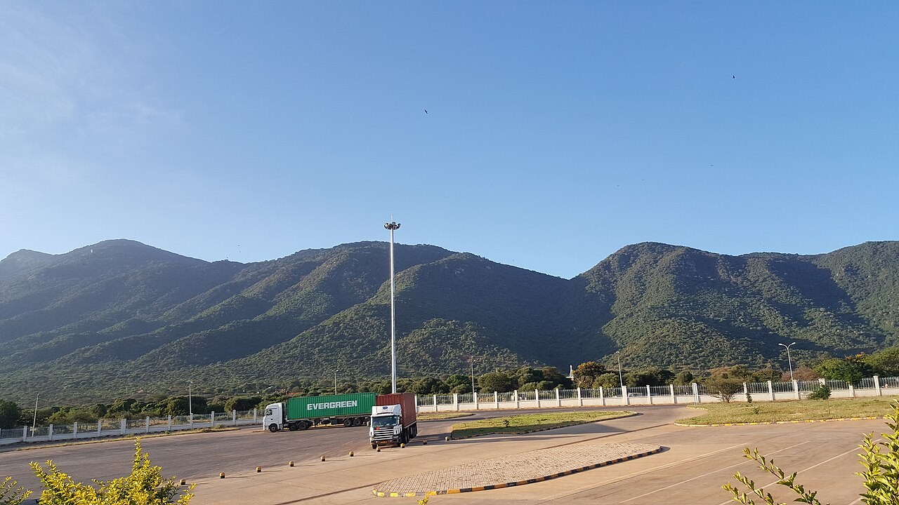
Forest Status and Protection
On 31 August 1979, Kenya Gazette Notice 2456 gave notice of intention to declare 11,784 hectares as Namanga Hill Forest. A 2023 environmental assessment confirmed the existence of the protected forest and identified Kenya Forest Service and a local community forest association as co-managers.
Cross-Border Watershed Management
A 2002 GEF evaluation documented joint catchment management linking Namanga Forest Reserve on the Kenyan side with Longido Forest Reserve on the Tanzanian side. Maasai communities on both sides of the border participated through local committees chosen at open community meetings known as baraza.
Community Forest Uses and Fire Management
The environmental assessment records how nearby communities use the forest for grazing, fuelwood, wild foods and medicinal plants. The earlier GEF evaluation describes fire management as one of the practical responsibilities tied to the communities’ role in conserving the watershed.