
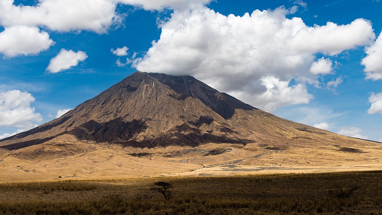
A Volcano Unlike Any Other
Ol Doinyo Lengai is the only known volcano to produce natrocarbonatite lava — flows composed predominantly of sodium carbonates and unusually low in silica, erupting at approximately 510 degrees Celsius. This chemistry produces lava that moves and solidifies differently from basaltic or rhyolitic flows and weathers rapidly on exposure to the atmosphere.
Fresh natrocarbonatite flows appear dark in daylight and lighten as they react with moisture and air. The European Space Agency has documented this weathering-driven change in surface appearance across imagery of the volcano.
Summit Morphology and Eruptive Styles
Activity at Ol Doinyo Lengai is centered in the summit crater, where repeated extrusion through localized vents has built hornitos — small cone-like structures that alter the crater floor considerably over each active period.
The Smithsonian Global Volcanism Program records an explosive ash phase that began in September 2007, distinct from the natrocarbonatite effusions that characterize much of the volcano's activity. These represent separate volcanic behaviors that have occurred at different times.
Sacred Ground and the Ngorongoro Lengai Geopark
To the Maasai, Ol Doinyo Lengai is a sacred mountain, a status embedded in its name. The volcano sits within the Ngorongoro Lengai UNESCO Global Geopark, a designation recognizing both the geological significance of the rift landscape and its cultural dimensions across northern Tanzania.