
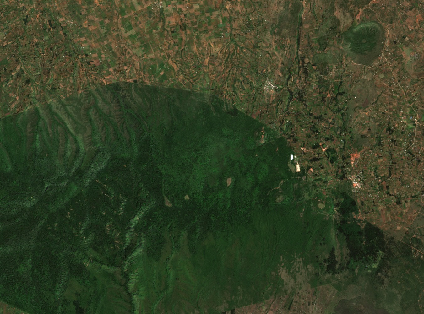
Structure and Geology
The Smithsonian Global Volcanism Program describes an older western edifice and younger dome structures concentrated on the eastern flank, some of which are likely Holocene in age. Younger rhyolitic obsidian on the northern and northeastern slopes overlies older phonolite and trachyte, reflecting successive magmatic episodes across the complex. Fault-related craters and fumaroles connect surface topography to the rift faulting and residual volcanic heat that characterise this section of the Gregory Rift.
Wellhead Geothermal Generation
KenGen commissioned the Eburru wellhead geothermal plant in 2012, as dated by the European Commission Joint Research Centre, with a rated capacity of 2.44 megawatts according to KenGen documentation. The installation captures steam directly at the production well, converting Eburru's subsurface thermal energy into grid electricity.
Eburu Forest and Conservation
The forested slopes of the massif support mountain bongo habitat. Rhino Ark undertook a conservation initiative in the Eburu Forest in partnership with Kenya Wildlife Service and local workers, constructing a forest boundary fence to protect the defined forest block within the volcanic massif on which the mountain bongo depends.