
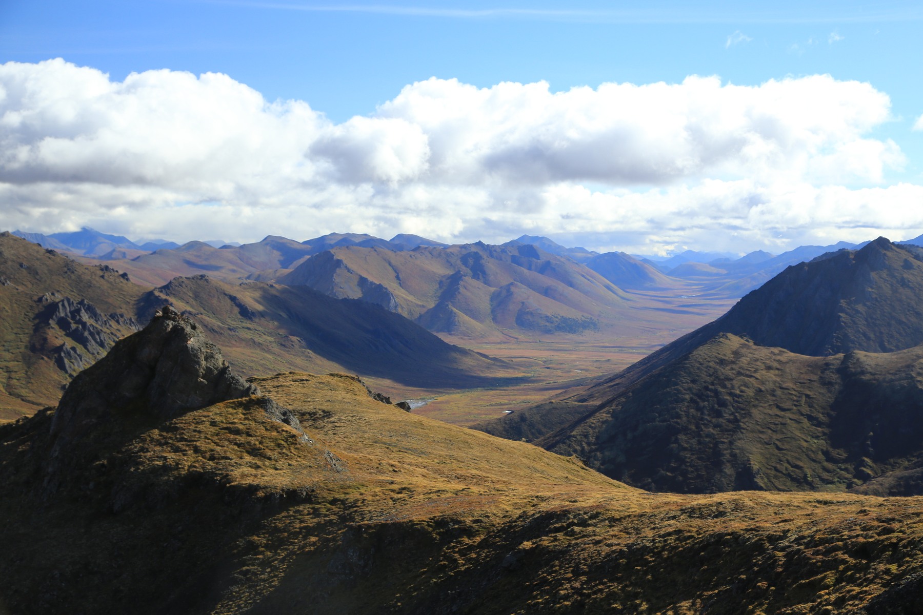
Geology of the southern range
In the southern Ogilvie Mountains, a line of five closely spaced plutons intrudes the surrounding sedimentary rocks. The Tombstone Mountain skyline is cut into resistant syenite and granodiorite marked by long, steep fractures. The magma that formed this rock solidified approximately 92 million years ago. The resulting ridgelines are angular and prominent, as visible within Tombstone Territorial Park.
North of the Blackstone River, pale carbonate slopes carry distinct cliff bands, and shale underlies much of the flatter floor of Engineer Creek valley. This terrain is documented in the roadside geology of the Dempster corridor produced by the Yukon Geological Survey and the Northwest Territories Geoscience Office.
Tr'ondëk Hwëch'in, Tukudh Gwich'in, and Tetl'it Gwich'in
Long before any road crossed the Ogilvie Mountains, Tr'ondëk Hwëch'in, Tukudh Gwich'in, and Tetl'it Gwich'in used the mountain country and surrounding uplands as a seasonal base for hunting, trapping, and travel. The Porcupine Caribou Herd, which makes two yearly migrations through this region, provided essential food and clothing. The Blackstone country, the area around the Blackstone River corridor, served as a recurring gathering and transit point within this broader pattern of land use, and the relationships among these nations were shaped in part by their shared reliance on that herd.
The Dempster Highway
Construction of the Dempster Highway began in 1959, and the road opened on 18 August 1979, making it the first all-weather public road in Canada to cross the Arctic Circle. The Tr'ondëk Hwëch'in Government's account of the corridor notes that the highway passes through travel routes that had long served as corridors for the peoples of the region. The road passes through the Ogilvie Mountains, exposing the geological transitions between the southern plutonic terrain and the carbonate uplands to the north.
Tombstone Territorial Park and the 1998 Final Agreement
In 1998, the Tr'ondëk Hwëch'in Government, Yukon, and Canada signed the Tr'ondëk Hwëch'in Final Agreement. Schedule A of that agreement called for establishing a park to protect representative parts of the Ogilvie Mountains and Blackstone Uplands and recognized the traditional and ongoing use of the area by the Tr'ondëk Hwëch'in. The resulting Tombstone Territorial Park covers a portion of the southern Ogilvie Mountains.
The Tr'ondëk Hwëch'in Government uses the name Ddhäl Ch'èl Cha Nän, which it glosses as "ragged mountain land", for Tombstone Territorial Park specifically.