
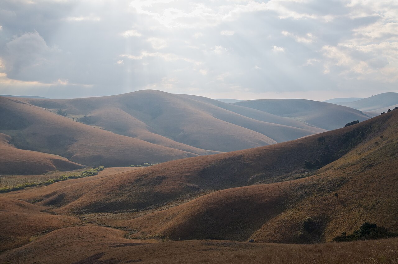
Open Grassland and Sheltered Evergreen Forest
The plateau surface carries extensive montane grassland across its rolling terrain, with patches of evergreen forest occupying sheltered gullies and valley floors where moisture accumulates. This interspersed pattern of open grassland and closed-canopy woodland reflects local variation in aspect, soil depth, and drainage rather than any single climatic gradient, giving Nyika a visually layered character across its surface.
Drainage Towards Lake Malawi and the Vwaza Lowlands
Streams rising on the plateau drain eastward and contribute to the broader catchment leading towards Lake Malawi. To the southwest, the land descends to Vwaza Marsh, a lower-lying wetland system that occupies a distinct ecological and elevational position from the plateau itself. Together, Nyika and Vwaza form the subject of a combined tentative World Heritage nomination submitted to UNESCO by the Malawi Government.
Phoka Sacred Landscape and Ironworking Evidence
The Phoka people have long recognized Nyika Plateau as a sacred landscape, with Lake Kaulime holding particular spiritual significance as a sanctuary. Physical evidence of ironworking on the plateau attests to historical human activity and resource use across the upland. The Malawi tentative World Heritage submission documents this cultural dimension alongside the plateau's natural values.