
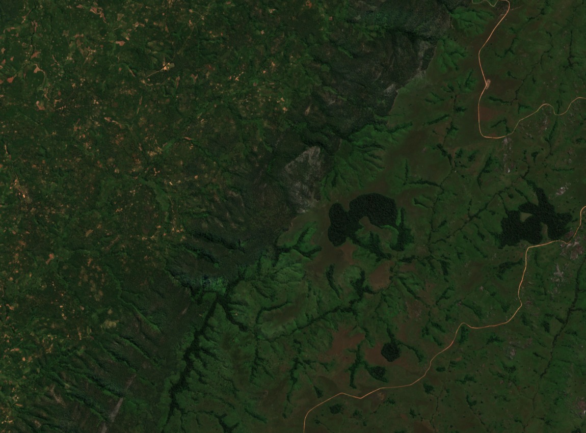
From Lundazi Protected Forest to Nyika National Park
The Zambian portion of the Nyika Plateau was gazetted as Lundazi Protected Forest in 1938. The northern section was subsequently established as Nyika National Park in 1972, with an area at establishment of approximately 80 km² as recorded in World Bank project documentation. The park protects upper grasslands and montane escarpment habitat distinct from the more extensively documented Malawian plateau to the east.
Chowo and Manyenjere Forests of the Escarpment
The Zambia Tourism Agency identifies Chowo and Manyenjere as named submontane forests on the Zambian escarpment. These woodlands form part of a mosaic with upper montane grasslands characteristic of the broader Nyika system. The escarpment forests support vegetation communities associated with the transition between the plateau surface and the lower Luangwa basin.
Transfrontier Conservation Between Zambia and Malawi
The World Bank Nyika Transfrontier Conservation Area project documents active cross-border collaboration between Zambia and Malawi focused on coordinated management of shared plateau ecosystems and wildlife corridors. This cooperation addresses the continuity of habitat across the international boundary and supports conservation planning for the Chire-Luuwumba catchment woodlands within the Zambian escarpment zone.