
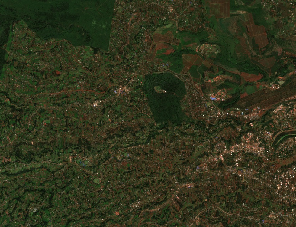
Hill Forest and River Catchment
Nyeri County’s urban plan identifies around 217 hectares of Nyeri Hill Forest between the Ihururu and Mathari–Kihuyo roads. The plan describes the forest as part of a water catchment and records its role as a refuge during the Mau Mau uprising.
Mission Farming and the Hill Slopes
Nyeri Hill Farm, a landholding on the broader hill terrain, was established in 1904 by the Consolata Missionaries, according to that institution's own historical record. A demonstration coffee plot was introduced on the property in 1914, followed by the construction of wet and dry processing mills in 1934. The sequence marks a documented transition from mission settlement to structured upland agricultural production across the hill slopes adjacent to the forest corridor.
Landscape and Satellite Record
A Sentinel-2 image from 18 January 2023 shows blocks of forest and cultivated land west of town. Nyeri’s municipal plan records both uses of the hills.