
Plateau Rivers and Escarpment Geology
Three mapped river systems originate within the plateau: the Gairezi drains northward, the Nyangombe flows through the central upland, and the Pungwe begins its course toward the Mozambique coast. The eastern escarpment marks an abrupt transition where elevation changes rapidly into the Honde Valley below, a gradient that shapes both drainage patterns and the distribution of mist forest along the upper slopes.
Late Iron Age Stone Structures and Competing Interpretations
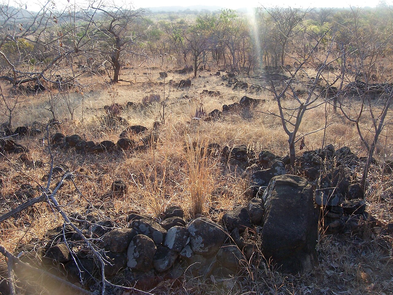
Stone terraces, enclosures, pits, and water furrows distributed across the upland date to the Late Iron Age. John Sutton's study published in the Journal of African History interpreted these features as cultivation works serving soil conservation and irrigation. Research published in the Journal of Community Archaeology and Heritage in 2023 argues that some pit and enclosure complexes are better understood in relation to gold production, and cautions against applying a single explanatory framework across all structure types.
Upland Grasslands and Mist Forest Mosaic
BirdLife Zimbabwe's site report for the Nyanga Mountains records a mosaic of upland grasslands and mist forest patches across the range. The mist forest areas support distinct assemblages from the open grassland, reflecting differences in moisture and canopy cover along the escarpment edge. BirdLife Zimbabwe maintains an ongoing site monitoring record for the area under site code Z006.